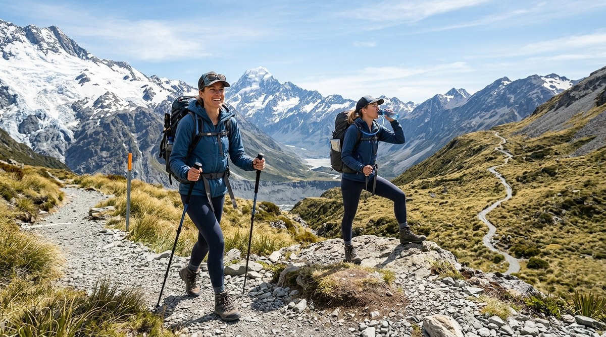
How to Prepare for a High-Altitude Hike Without Getting Altitude Sickness
You have been dreaming about that big mountain trek for months. The photos look unreal. The trail climbs above 10,000…
Read More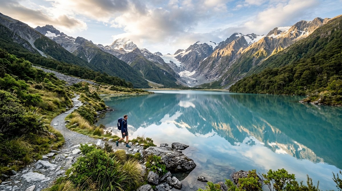
8 Alpine Lake Hikes That Will Take Your Breath Away
There is a moment on every alpine hike when the trees thin out, the air gets cooler, and the trail…
Read More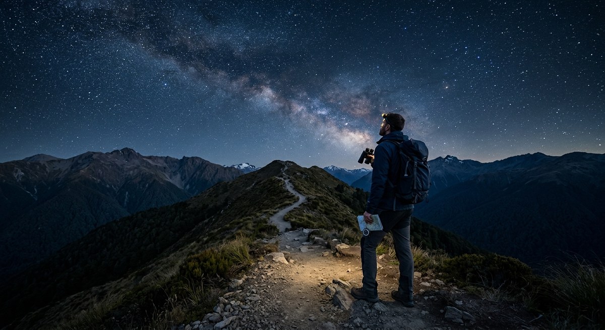
Is Your Trail Ready for Stargazing? How to Choose a Night Hiking Route
The Milky Way stretches across a sky so dark it feels like velvet. You are standing on a trail you…
Read More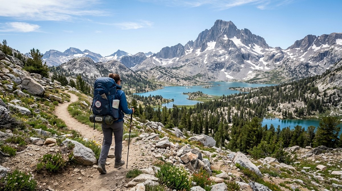
How to Plan a Multi-Day Hike on the John Muir Trail in 2026
The John Muir Trail is one of the most rewarding long distance hikes in the United States. It stretches 211…
Read More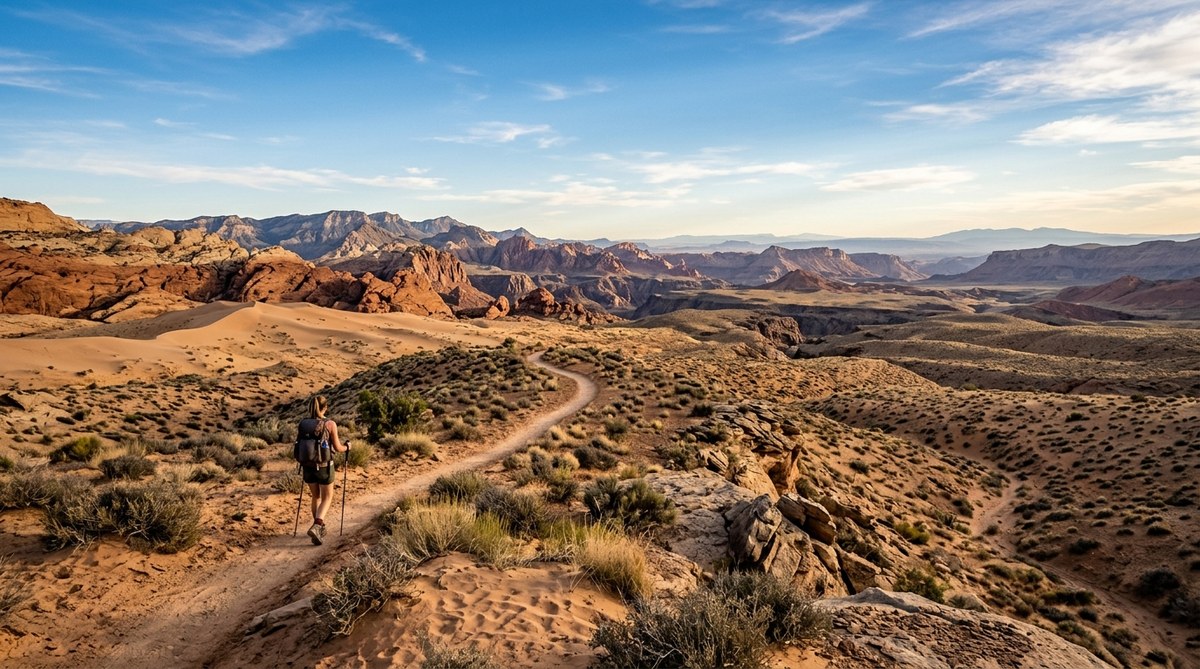
7 Desert Hiking Trails That Offer Stunning Solitude and Scenery
The desert has a way of stripping away noise. Not just the sound of traffic or the hum of daily…
Read More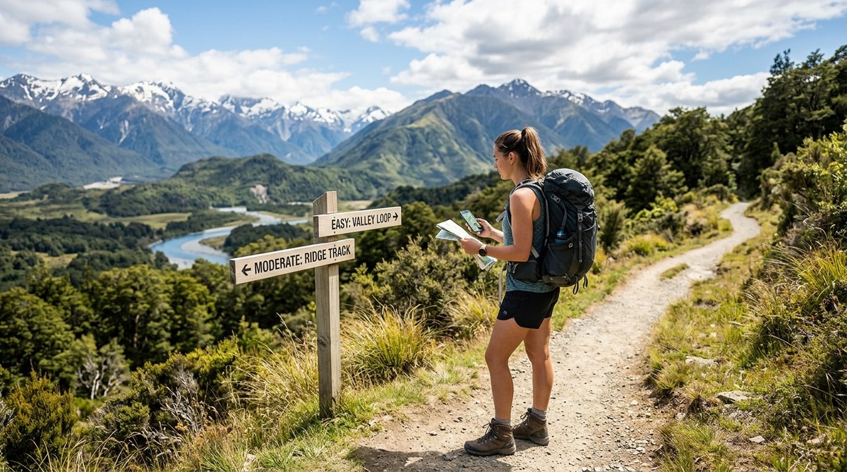
How to Choose the Right Hiking Trail for Your Fitness Level
Summit views and fresh mountain air call to all of us, but picking the wrong trail can turn a great…
Read More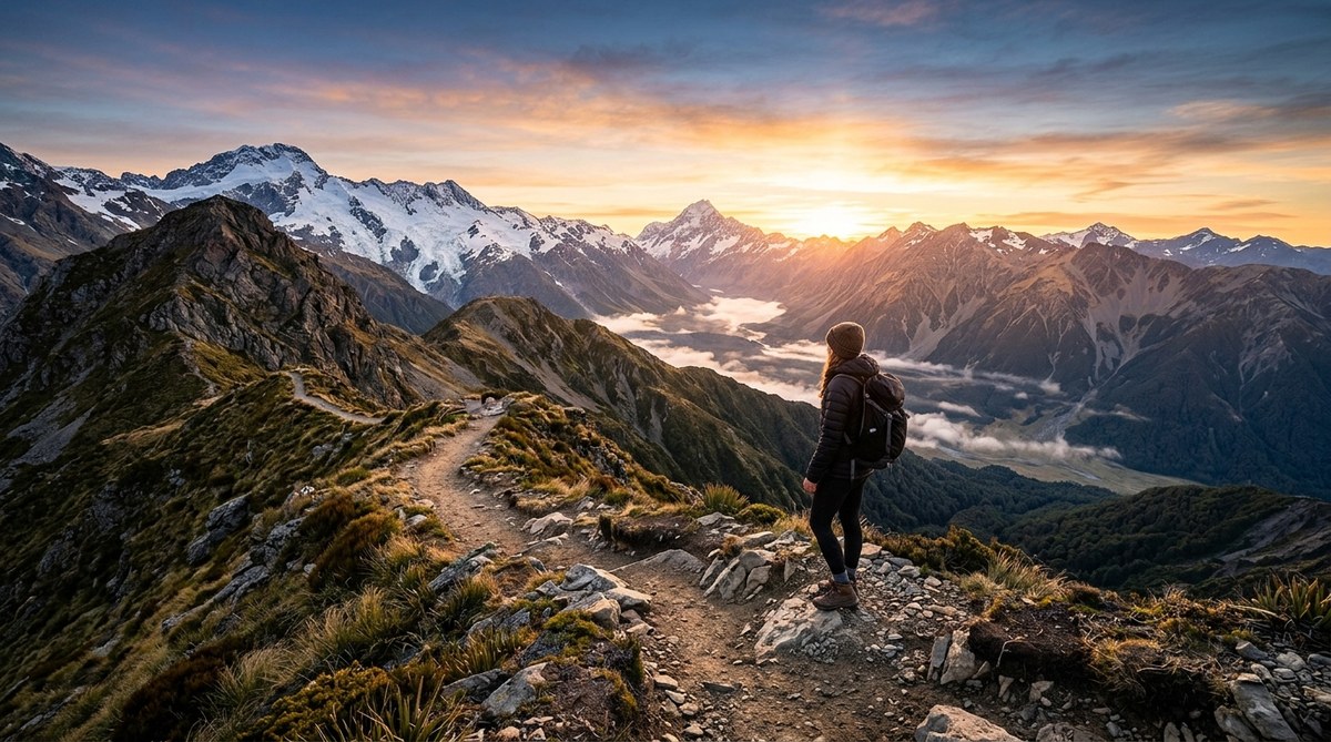
10 Iconic Hiking Trails for Sunrise and Sunset Views
Key Takeaway The best hiking trails for sunrise and sunset combine open western or eastern views with minimal tree cover.…
Read More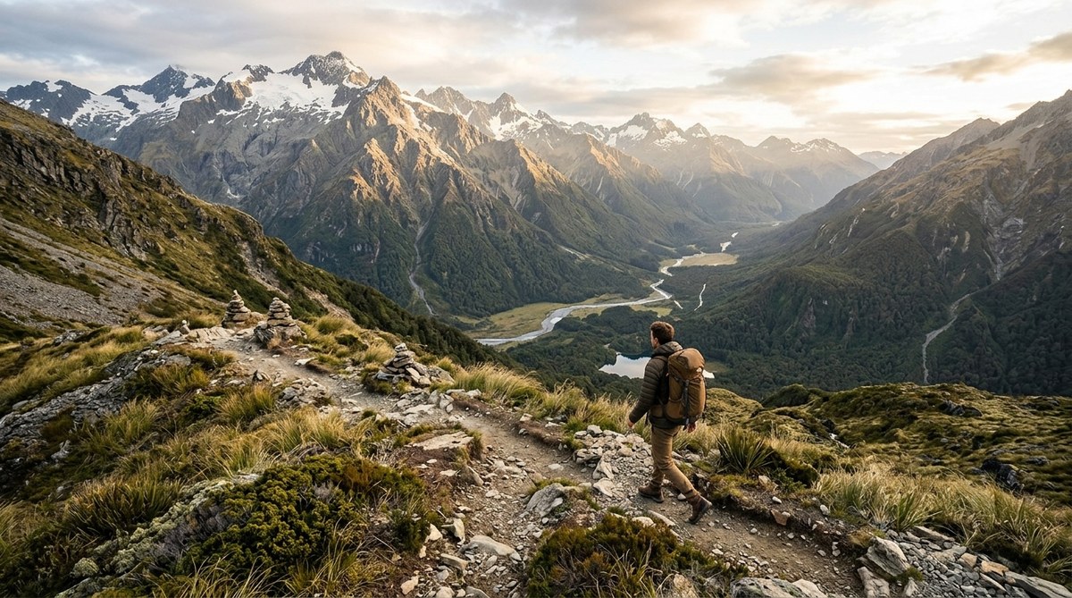
What Makes a Hiking Trail ‘Wilderness’? Key Features to Look For
You lace up your boots at a parking lot crowded with RVs. You follow a gravel path wide enough for…
Read More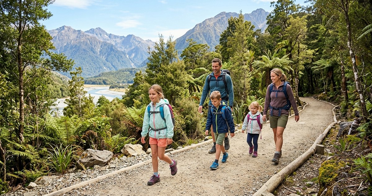
7 Family-Friendly Hiking Trails That Kids Will Love
Getting outside with your kids is one of the best ways to create memories that stick. But finding a trail…
Read More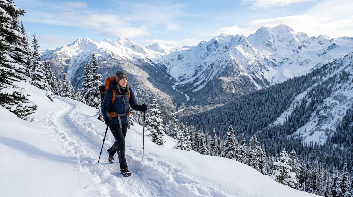
How to Find the Best Winter Hiking Trails in 2026
Winter hiking has a reputation for being cold, slippery, and difficult. But those who brave the frost know the truth:…
Read More