Pureora Forest Park
A less-visited park of forested hill country that includes beautiful podocarp forests, a variety of short walks and a few tramping tracks.
Lying immediately northwest of the volcanic crater, the forests of the park were completely destroyed by the Taupo eruption of 182AD. Remnants of the original rimu forest are still visible as preserved, buried logs at the Buried Forest site near the DOC field centre. The eruption fertilised the soils and changed the ecology, with a shift from tanekaha and rimu forest to mixed podocarp. The forests today are rich, tall, and diverse. Bats, falcons, whio (blue duck), kokako, kaka, whitehead, and North Island robin are all found here, along with the rare parasitic plant, Dactylanthus taylorii.
Short walks include visits to the Buried Forest, the 12-metre forest tower, several logging relics, and a walk to the geographical centre of the North Island. Just outside the park, on private land is the Pouakani Totara, the largest totara tree in the country.
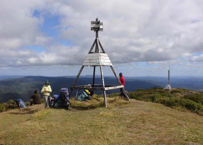
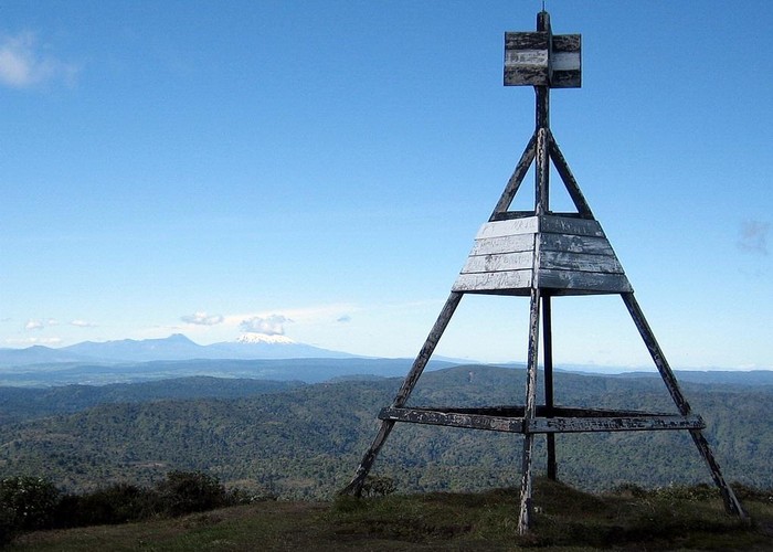
The highest point is Mt Pureora at 1165m, a short climb. The Mt Titiraupenga Track (1042m) offers a full day walk. The Hauhungaroa Track is a 3-day tramping track.
|
Area
|
780 square kilometres |
|---|---|
|
Maps
|
NZTopo50-BG35
NZTopo50-BF35 |