Hump Ridge Track
Fiordland National Park
- 3 days loop track
- Easy/medium
- Bookings required
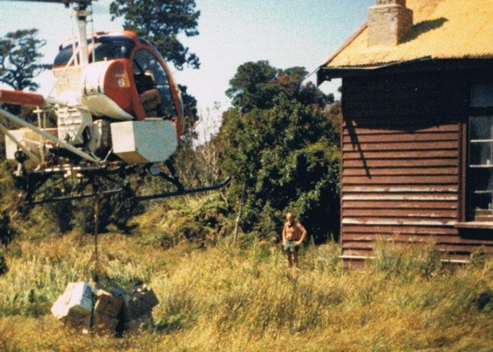
The Hump Ridge Track links the Waitutu coastline west of Invercargill with the subalpine landscape of the Hump Ridge. Historic buildings and viaducts.
2 members favourited
9 members checked in
|
Walking time
|
3 days
15 hr – 25 hr
|
|---|---|
|
Distance
|
62.0km |
|
Type
|
Loop track
|
|
Grade
|
Easy/medium |
|
Bookings
|
Bookings required
Required
This track is operated by the Tuatapere Hump Ridge Track Charitable Trust. Bookings are required year-round.
|
|
Starts
|
Rarakau Carpark, Papatotara Coast Road, west of Tuatapere |
|---|---|
|
Maps
|
NZTopo50-CF07
|
|
Altitude
|
Sea level
–
970m
Altitude change 970m
|
|
Link
|
www.doc.govt.nz/parks-and-recreation/places-to-go/fiordland/places/fiordland-national-park/things-to-do/tracks/hump-ridge-track/http://www.doc.govt.nz/parks-and-recreation/places-to-go/fiordland/places/fiordland-national-park/things-to-do/tracks/hump-ridge-track/ |
|---|---|
|
Bookings
|
Bookings
www.humpridgetrack.co.nz/pages/how-to-book/http://www.humpridgetrack.co.nz/pages/how-to-book/ |
Private walk on public land, operated by the Tuatapere Hump Ridge Track Charitable Trust. See http://www.humpridgetrack.co.nz for details.
ID 332
About this track
170 views in the past year (14 per month).