Mt Philistine Traverse
- 1 day one way
- Hard
A classic mountain traverse in Arthurs Pass National Park, includes climbing steep scree, bluffs, rock and snow. An ice axe and crampons are often essential, a rope may be needed.
|
Walking time
|
1 day
6 hr – 10 hr
|
|---|---|
|
Type
|
One way
|
|
Grade
|
Hard
Under ideal conditions this is a high but not technical alpine tramp. Snow is mainly seasonal. Grades explained
|
|
Bookings
|
No bookings — open access
No — open access
|
|
Starts
|
Upper Otira Valley carpark on the Arthurs Pass highway. |
|---|---|
|
Ends
|
Waimak Falls Hut. |
|
Maps
|
NZTopo50-BV20
|
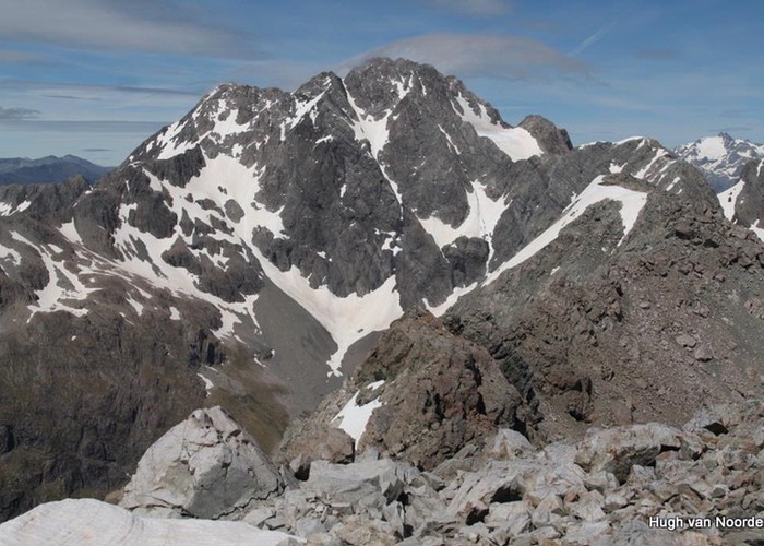
In summer conditions, for experienced alpine trampers and mountaineers, a traverse of Mt Philistine is a high but not a technically difficult crossing. Ice axe and crampons will normally be required. In adverse conditions identifying the starts of descents in particular can be a challenge. All normal alpine hazards are present.
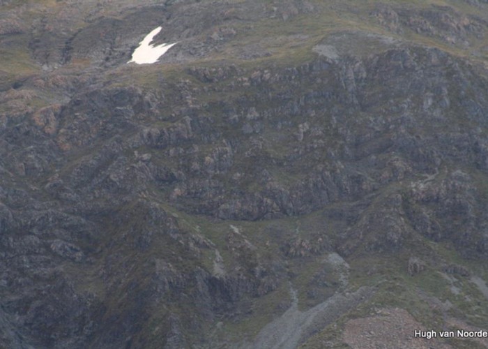
Leave the Otira valley track at the footbridge where it crosses the main stream. Angling back down valley but up hill, ascend the main scree slope to the foot of Warnocks Bluff. From the highest scree, scramble up and right to the skyline and the top of the bluff.
Continue up the broad SE ridge to the summit of Mt Philistine. Traverse the ridge (part of Philistine-Rolleston traverse, rocky and exposed in places) to the last col before Pt2000, descend 200m to the west on what is often snow (still high above the Rolleston River), ascend semi permanent snow to a main divide col west of Pt2000 and descend more snow to the upper Waimakariri. Then down the left bank to Waimak Falls Hut.
Warnocks Bluff is steep and exposed. Difficult sections of the ridge immediately west of Mt Philistine are best sidled just below the crest to the north. As described - connecting with the main divide col west of Pt2000 is a simple efficient route - other options include using Waimak Col and Waimak Pass.