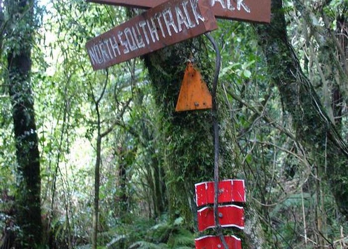
North South Track
Kaimai-Mamaku Forest Park
- 7 days one way
- Easy/medium
- Karangahake Gorge to Daly's Clearing: 5.5 hours, 13.4km
- Daly's Clearing to Waitawheta Hut: 4.5 hours, 7.5km
- Waitawheta Hut to Te Rereatukahia Hut: 7 hours, 13km
- Te Rereatukahia Hut to Kauritatahi Hut: 7 hours, 11km
- Kauritatahi Hut to Wairere Falls: 9 hours, 18km
- Wairere Falls to Hurunui Hut: 6 hours, 12.2km
- Hurunui Hut to Kaimai Summit, SH29: 4.5 hours, 9.8km
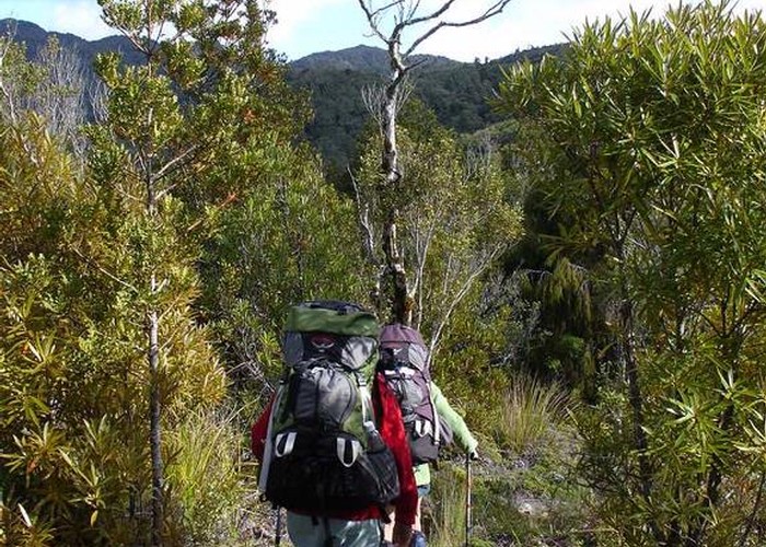
Traversing the length of the Kaimai Range from the Karangahake Gorge to the Mamaku Plateau, this track follows historic trails to explore kauri logging and gold mining areas.
|
Walking time
|
7 days
43 hr 30 min
|
|---|---|
|
Distance
|
82.0km |
|
Type
|
One way
|
|
Grade
|
Easy/medium |
|
Bookings
|
No bookings — open access
No — open access
|
|
Starts
|
Karangahake Reserve, southeast of Paeroa on SH2. |
|---|---|
|
Ends
|
Kaimai Summit, SH29 between Matamata and Tauranga. |
|
Maps
|
NZTopo50-BD35
NZTopo50-BC35 |
|
Altitude
|
30m
–
880m
Altitude change 850m
|
The North-South Track has been rerouted recently. Some sections of the old track were closed to reduce environmental impact. There are no huts beyond Te Rereatukahia Hut (about half way) but there are road access points all along the route. There are several different crossings of the range available, along with ample possibilities for constructing short loop walks too. Consult the DOC brochure, "Kaimai to Coast: Walks and Tramps."
Karangahake Gorge to Daly's Clearing
Setting off from the Karangahake Reserve, the track follows the Crown Track along the old Paeroa water supply pipeline, passing through a long tunnel, to Dickey's Flat Campground. The Dickey's Flat Track crosses a river and climbs up to meet the Mangakino Pack Track.
Beyond the Dean's Track junction out to Franklin Road, the route leaves the Mangakino Pack Track and passes through pretty nikau forest to Daly's Clearing Hut.
Daly's Clearing to Waitawheta Hut
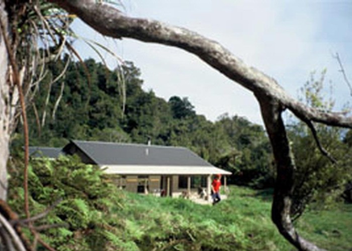
A scrubby bullock trail drops easily down to the Waitawheta Tramway Track. Turning right and heading upstream, it is an easy saunter along the Waitawheta River to the old Waitawheta Hut site, which is now a campsite, and beyond to the new hut located on the old mill site, crossing an impressive swirling gorge just before the hut. Several short walks explore the milling relics around the hut.
Waitawheta Hut to Te Rereatukahia Hut
The track follows an old log hauler road past a kauri dam before turning to climb over Wharawhara Saddle and down to the Cashmore Tramway and past a track junction. A quick drop into the Wharawhara Valley leads to the Wharawhara Tramway and another junction. Follow a link track up to the Kauri Grove Track and then continue on to the hut.
Te Rereatukahia Hut to Kauritatahi Hut
Following the ridge south, the track soon meets a junction where the Tuahu Track, an old east-west bridle trail, crosses. A rugged section including a tall ladder leads to the Mount Eliza Mine junction, passes Motutapere Hut, then the track drops onto old farmland and continues through to a crossing of Thompson's Track, an old country road. The track passes the Kauritatahi Hut turn-off. It is 1.5 hours to the hut, with good views and camping.
Kauritatahi Hut to Wairere Falls
Back on the North-South Track, head eastward beneath the summit of Ngatamahinerua. The track drops down to Kauritatahi Stream and follows it for a while, eventually reaching a side track to Uplands Road, and another to Aongatete Lodge. Beyond Aongatete Stream, the track meets Wairere Stream and the Wairere Track. A 1 hour return side trip leads to Wairere Falls.
Wairere Falls to Hurunui Hut
Follow the Wairere Track inland and away from the falls briefly before continuing south. The track drops into the Waiteariki Basin and meets the east-west Te Tuhi Track. A small clearing beyond the Ngamuwhahine Basin is suitable for camping. Onward, the track follows the Maungaputa Stream to a haul line up to the Leyland O'Brien Tramline, then branches off to Hurunui Hut.
Hurunui Hut to Kaimai Summit, SH29
The track climbs onto the Henderson Tramline, then branches south, eventually coming to the Kaimai Summit Loop Track and road.