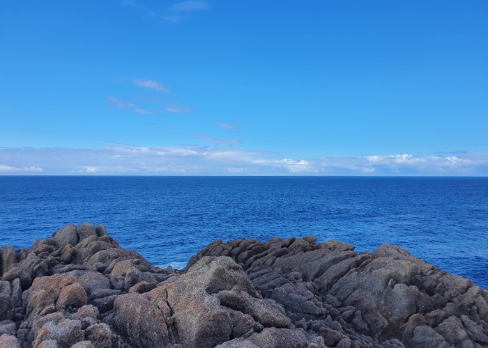
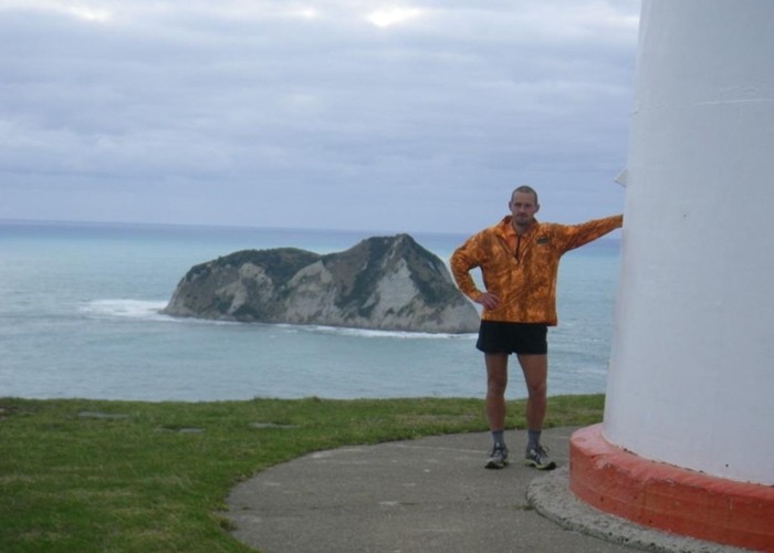
East Cape to West Cape - the length of NZ's main divide
- 125 – 300 days one way
- Hard
A guide to my route from East Cape to West Cape, the length of NZ's main divide.
|
Walking time
|
125 – 300 days |
|---|---|
|
Distance
|
2,216.0km |
|
Type
|
One way
|
|
Grade
|
Hard
Where do I start - this trip has everything! Grades explained
|
|
Bookings
|
No bookings — open access
No — open access
|
|
Starts
|
East Cape |
|---|---|
|
Ends
|
West Cape |
|
Maps
|
NZTopo50-BD45
NZTopo50-BQ32 NZTopo50-CF04 NZTopo50-BQ29 |
|
Altitude
|
Sea level
–
2,190m
Altitude change 2,190m
|
This track provides links to route guides for the entire trip based on the route I took, and trip reports for sections that been written up.
North Island
East Cape to Motu Road - (Raukumaras)
Route guide: Raukumara East-West Traverse
http://routeguides.co.nz/trips/13
Motu Road to SH2 (Waioeka) - (Urutawas)
Route guide: Urutawa Crossing: Motu Road to Waioeka Gorge
SH2 (Waioeka) to SH38 (Waikaremoana Summit) - (Waioeka / Urewera)
Route guide: A Waioeka - Urewera crossing: Redpaths Road to SH38
SH38 (Waikaremoana Summit) to SH5 (Rangataiki) - Whirinaki
Route guide: A Whirinaki crossing - Waikaremoana Road Summit to Rangitaiki Tavern
SH5 (Rangataiki) to Napier-Taihape Rd at Kurikapango - (Kaimanawa / Kawekas)
Route guide: The Kaweka Main Range - a NS traverse
Kurikapango to SH3 (Woodville ) - (Ruahines)
Route guide (N-S):
http://routeguides.co.nz/trips/910
Trip report (S-N):
Walking the length of the Ruahines
Woodville to Rimutaka Hill Rd summit (SH2) - Tararuas
Route guide: A Total Tararua Traverse
Rimutaka Hill Rd summit (SH2) - Wellington - (Rimutakas)
http://routeguides.co.nz/trips/15
And optionally - Haurangis
Route guide (south->north) Haurangi North-South Tarck
South Island
Picton to Okaramio (SH6) - Richmond Ranges (east)
Route Guide: Route Guide: Richmond Ranges (east)
Okamario to St Arnaud - Richmond Ranges (west)
Route Guide: Route Guide: Richmond Ranges (west) main ridge
St Arnaud to Lewis Pass (Nelson Lakes)
Route Guide: Route Guide: St Arnaud to Lewis Pass
Lewis Pass to Otira
Route guides:
http://routeguides.co.nz/trips/911
Harper Pass: Harper Pass - Kiwi Saddle
Otira to Mt Cook Village:
Route Guide:
Part 1 - Route Guide: Otira to Mt Cook Village (pt 1)
Part 2 - Route Guide: Otira to Mt Cook Village (pt 2)
Trip reports (parts of trip):
Crossing the Clyde and Havelock - brushes with the Canterbury Death
Mt Cook Village to Makarora:
Route Guide:
http://routeguides.co.nz/trips/906
Makaroroa to Aspiring Roadend
Route Guide:
http://routeguides.co.nz/trips/907
Aspiring roadend to Glenorchy / Paradise:
Trip report:
Matukituki to Paradise by roads less travelled
Route guides:
http://routeguides.co.nz/trips/876
Glenorchy to The Divide:
Trip report:
Route guide:
http://routeguides.co.nz/trips/892
The west side of Lake Te Anau from The Divide to the Doubtful Sound road
Milford Road summit (The Divide) to The Glaisnock:
Route guide: http://routeguides.co.nz/trips/40
Glaisnock to Gorge Burn (Te Anau South fiord)
http://routeguides.co.nz/trips/1666
Gorge burn to Wilmot Pass (Doubtful Sound road)
http://routeguides.co.nz/trips/1665
Doubtful Sound road to West Cape
There are two main options - with or without a packraft.
Route with packraft (the one I took):
http://routeguides.co.nz/trips/1667
Tramping only route:
Much of this isn't even in Moir's. The accepted route seems to be follow the Dusky Track to Lake Roe Hut. Then the route in Moir's to the Dark Cloud Range, then drop into Oho Creek and follow the packraft route above. This has been done by at least 1other party - though they had to swim across Lake Cove in Edwardson Sound.