Rocky Creek/Griffen Creek
- 2 – 3 days loop track with a road section
- Medium
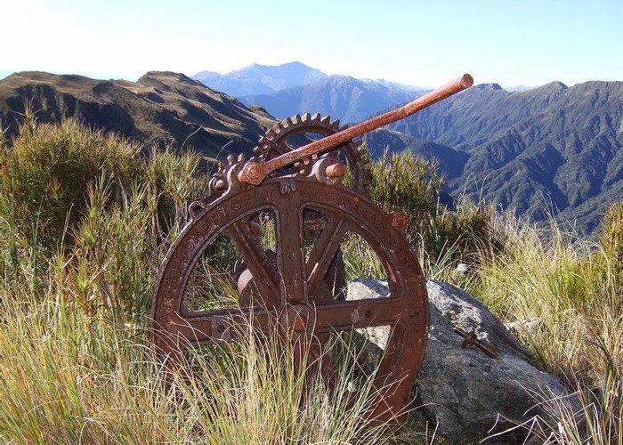
2 day circuit in luxurious west coast bush with short above the busline tussock section. 2 huts, Griffin Hut is magical, complete with bath down by the river. This route guide covers the reverse of the direction described by Matthew. It is usual to see blue ducks in Griffin Creek.
2 members favourited
2 members checked in
|
Walking time
|
2 – 3 days
12 hr – 15 hr
|
|---|---|
|
Distance
|
14.0km |
|
Type
|
Loop track with a road section
|
|
Grade
|
Medium
Suitable at moderate to low flows only. Grades explained
|
|
Bookings
|
No bookings — open access
No — open access
|
|
Starts
|
True left of Taipo River at bridge on Highway 73 |
|---|---|
|
Ends
|
True left of Harrington Creek where crosses Highway 73 |
|
Maps
|
-
|
|
Altitude
|
115m
–
1,020m
Altitude change 905m
|
ID 4492
About this track
104 views in the past year (9 per month).