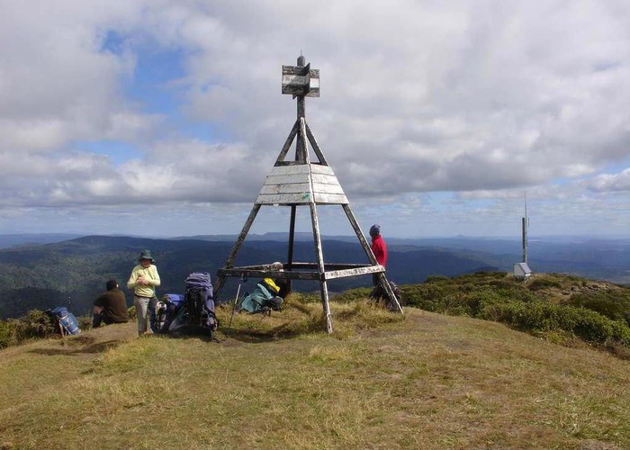
Hauhungaroa Range (Northern Section)
Pureora Forest Park
- 2 – 3 days one way
- Easy/medium
A two or three day trip incorporating the Northern part of the Hauhungaroa Range in Pureora Forest Park. Because the two huts on this route are 10 hours apart, this trip is going to inevitably involve camping out.

|
Walking time
|
2 – 3 days
14 hr – 20 hr
|
|---|---|
|
Distance
|
37.9km |
|
Type
|
One way
|
|
Grade
|
Easy/medium |
|
Bookings
|
No bookings — open access
No — open access
|
|
Starts
|
State Highway 32 at the Waihaha Bridge |
|---|---|
|
Ends
|
Link Rd |
|
Maps
|
NZTopo50-BG35
NZTopo50-BF35 NZTopo50-BG34 |
|
Altitude
|
475m
–
1,165m
Altitude change 690m
|