Waiohine Pinnacle track
- 2 hr 30 min – 4 hr return by the same track
- Medium/hard
Gives access from Arete Forks to Waiohine Pinnacles on Tarn Ridge Ascends Pinnacle Spur from the Arete Stream Junction
|
Walking time
|
2 hr 30 min – 4 hr |
|---|---|
|
Distance
|
2.2km |
|
Type
|
Return by the same track
|
|
Grade
|
Medium/hard
No track markers in open tussock Grades explained
|
|
Bookings
|
No bookings — open access
No — open access
|
|
Starts
|
At Arete Stream Junction with Waingawa river |
|---|---|
|
Ends
|
At point 1470 on Tarn Ridge |
|
Maps
|
NZTopo50-BN34
|
|
Altitude
|
670m
–
1,470m
Altitude change 800m
|
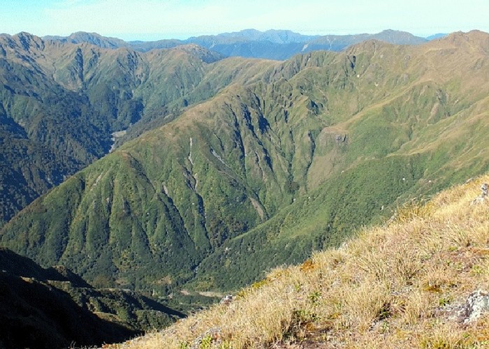
The route follows a maintained DOC track up through the bush, to the bushline. Very steep in places. takes about 1 hour to the bush edge steady climbing.
From the bush edge, follows tussock spur to the top of the spur. generally un marked with odd cairn.
At the junction with Tarn Ridge there is a steel waratah indicating the start of the route down from Tarn Ridge
About 1 hours tramp along to Arete Hut
There are several steep knobs near the top
ID 10378
About this track
Added 9 August 2014 by TararuaHunterTararuaHunter.
3 revisions, most recently 10 August 2014 by
TararuaHunterTararuaHunter.
61 views in the past year (5 per month).