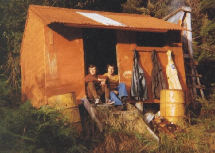
Serpentine hut
This hut is located on a small bush terrace on the TR of the Hokitika River and the TL of an unnamed side creek. It is a four bunker built in the 1950's. A stove has replaced the original open fire sometime post 1980 & a skylight has been retro fitted.
This hut gets very few walk in parties visiting. (approx one per year). Kayakers are the main users these days. Walking visits are low because of difficult access. The up & down river tracks bypassing major gorges were left to overgrow after the gvt cullers were pulled out at the end of the 71/72 summer shooting season. [this route has been reopened in 2015] Tops tracks exist to the tussock on the far sides of the Diedrich & Meta Ranges. Dropping down from either tops to Serpentine hut is possible but challenging because of the dense scrub, odd waterfall & small gorge that need to be bypassed. Crossing the Hokitika River is required if dropping off the Meta Range. The fords are usually OK in good wx but not always!

|
Owner
|
Owner: DOC |
|---|---|
|
Category
|
Basic Hut/Bivvy |
|
Sleeps
|
Sleeps 4
4
|
|
Facilities
|
Toilet, Enclosed wood/coal burner |
|
Water supply
|
Natural water source
Outside bath catches rainwater as do containers under the roof drip line.
|
|
Getting there
|
See above. Difficult access! Refer to the Permolat/Remote Huts Westland site for detailed access notes. |
|---|---|
|
Unlocked
|
This hut is unlocked and open to access. |
|
Bookings
|
No bookings — open access
No — open access
|
|
Altitude
|
300m |
|---|---|
|
Mobile phone coverage
|
No coverage |
|
Maps
|
NZTopo50-BV18
|