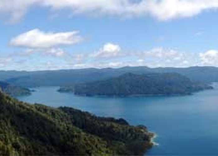
Lake Waikaremoana Track
Te Urewera
- 4 – 5 days one way
- Easy
"The Lake Track." Busy track in summer with swimming and fishing along the lake-side.
9 members favourited
18 members checked in
|
Walking time
|
4 – 5 days |
|---|---|
|
Distance
|
46.0km |
|
Type
|
One way
|
|
Grade
|
Easy |
|
Bookings
|
No bookings — open access
No — open access
|
|
Starts
|
SH38, Onepoto |
|---|---|
|
Ends
|
SH38, Hopuruahine Landing |
|
Maps
|
-
|
|
Altitude
|
614m
–
1,180m
Altitude change 566m
|
ID 249
About this track
176 views in the past year (15 per month).