Lake Waikaremoana Track
Te Urewera
- 3 – 4 days one way
- Easy/medium
- Bookings required
- Onepoto to Panekiri Hut: 5 hour
- Panekiri Hut to Waiopaoa Hut: 3.5 hours
- Waiopaoa Hut to Marauiti Hut: 4.5 hours
- Marauiti Hut to Whanganui Hut: 4.5 - 5 hours
- Whanganui Hut to Hopuruahine Landing: 1 hour
"The Lake Track." Busy track in summer with swimming and fishing along the lake-side.
|
Walking time
|
3 – 4 days
15 hr – 20 hr
|
|---|---|
|
Distance
|
46.0km |
|
Type
|
One way
|
|
Grade
|
Easy/medium |
|
Bookings
|
Bookings required
Required
Great Walks booking season is year-round. Huts and campsites must be booked in advance.
|
|
Starts
|
Onepoto Road, Onepoto, Te Urewera |
|---|---|
|
Ends
|
Hopuruahine Landing, off Waikaremoana Road, Te Urewera |
|
Maps
|
NZTopo50-BG40
|
|
Altitude
|
614m
–
1,180m
Altitude change 566m
|
|
Link
|
www.doc.govt.nz/waikaremoanahttp://www.doc.govt.nz/waikaremoana |
|---|---|
|
Bookings
|
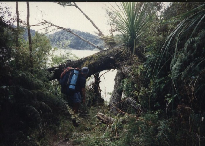
The broken, isolated landscape of Urewera National Park is a product of recent earthquakes and ongoing mountain-building. Indeed, the lake itself is merely 2000 years old, having formed behind a massive landslip. In 1946 the lake level was lowered 5m as part of a local power scheme, so the lake is edged with regenerating forest. The track leads around the western lake edge, climbing onto the crest of the Panekiri Range before dropping to the jagged shoreline.

Although it is open throughout the year, the highest points on the track may be subject to snowfall.
Access
Bending in a long horseshoe curve about the lake, the track meets SH38, the road from Rotorua to Wairoa, both north and south of the lake at Onepoto and Hopuruahine Landing. On the road between the two track ends, Aniwaniwa is home to the DOC Visitor Centre, a shop, campground, and motels. Boat and shuttle bus services operate seasonally between the track ends, and public buses operate along the highway.
Onepoto to Panekiri Hut
From the car park, the track crosses the parade ground of a nineteenth century redoubt used by European soldiers to suppress the local Maori. Beyond this inauspicious spot the track climbs past a series of progressively higher trigs on the ridge. Puketapu Trig is the track's highest point, near Panekiri Hut.
Panekiri Hut to Waiopaoa Hut
The track keeps to the ridge a while longer before dropping quickly to the lakeside hut.
Waiopaoa Hut to Marauiti Hut
Before a swingbridge across Korokoro Stream a side track leads 1-1½ hr return to the 20m Korokoro Falls. Beyond the swingbridge is a campsite.
Over some private land the track meets the next campsite, with the hut soon after.
Marauiti Hut to Whanganui Hut
The track crosses an inland section of private land before coming to another lakeside campsite, then passing the site of (removed) Te Puna Hut.
Crossing a peninsula, the track drops to the lake edge and another campsite.
A section of lakeside scrub leads to the hut.
Whanganui Hut to Hopuruahine Landing
A short walk leads to the track end.