Scott Saddle route (Dart to Caples)
- 1 – 2 days one way
- Medium
This route crosses the easiest pass from the Dart to Caples Valleys, via Scott Creek, Scott Saddle and Kay Creek to Upper Caples Hut (13.5km) and Mid Caples Hut (20.5km). The route can be combined with a walk out down the Caples (which gives a long road section back to the Scott Creek roadend) or with the Sleepy Hollow route to Glacier Burn to make a round trip. Other possibilities include returning via Fraser Creek or the Caples / Routeburn.
3 members favourited
3 members checked in
|
Walking time
|
1 – 2 days |
|---|---|
|
Distance
|
21.0km |
|
Type
|
One way
|
|
Grade
|
Medium |
|
Bookings
|
No bookings — open access
No — open access
|
|
Starts
|
Scott Creek / Routeburn Road |
|---|---|
|
Ends
|
Upper Caples Hut or Mid Caples Hut |
|
Maps
|
NZTopo50-CB09
NZTopo50-CB10 |
|
Altitude
|
380m
–
1,450m
Altitude change 1,070m
|
Routeburn Road to Scott Creek Hut
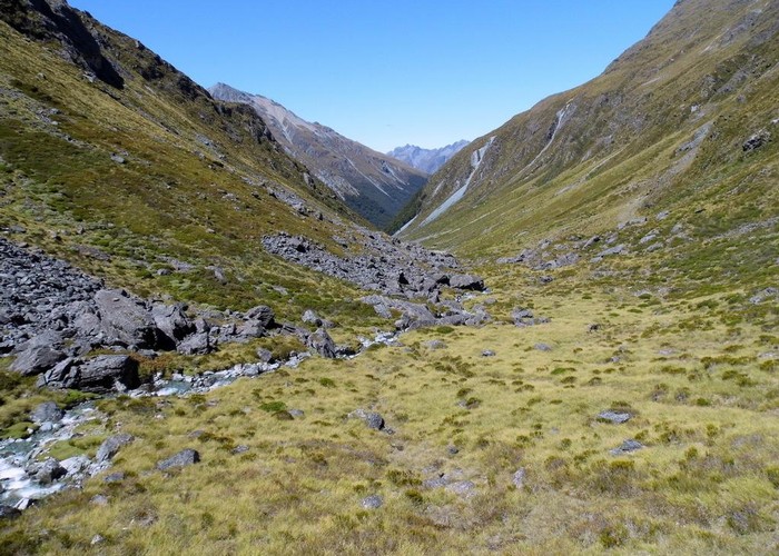
3.5km (1.5-3 hours)Where the Routburn Road crosses Scott Creek, a DOC signpost on the soth side of the bridge marks the Scott Creek Track. The track is unmarked crossing farmland on the true right of the creek, but can be seen ahead climbing through fern up the ridgeline before entering the beech forest. From the forest entrace the track is well marked, but unmaintained. A couple of side creeks have washed out their original crossings and detours upstream are necessary. The track ends at the fork in Scott Creek on the bushedge below the hut, and does not cross the creek downriver as shown on the map.
Scott Creek Hut is dilapidated and not recommended. However, a good camp spot exists on the bushedge beside the hut.
Scott Creek Hut to Kay Creek Hut
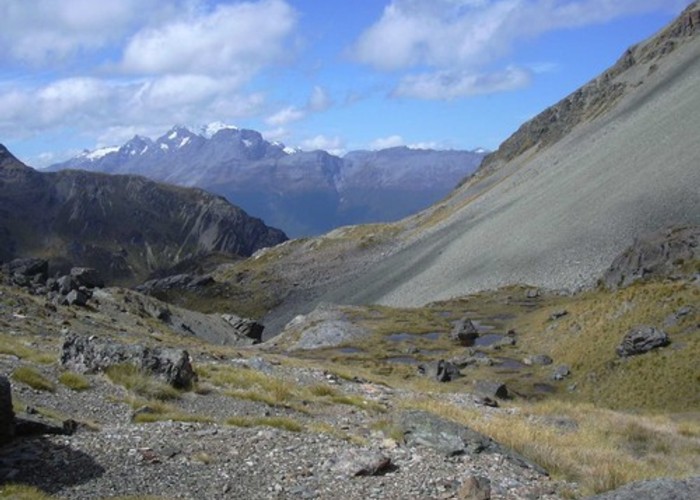
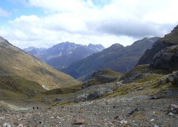
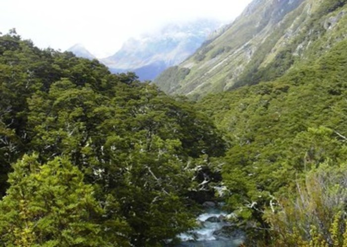
6km (2-4 hours)The route from Scott Creek to the Scott Saddle is unmarked but easy. Sticking to the true right of the eastern-most branch of the creek. The route becomes gentle and crosses tussock and the base of scree slopes to reach the small tarn just before the 1450m saddle. Beautiful views of Scott Basin, the Dart and Mt Earnslaw are present from the upper stretches.
The descent from Scott Saddle to Key Creek is soon interrupted by a waterfall, and steep bluffs. Moir's guide reccommends descending by the gully on the true right, which involves going round back of the rocky knob next to the waterfall. Not having read Moir's guide, I followed deer tracks down the true left of the waterfall, which led down steep, loose screes. This was entirrely possible, but a little hairy at times.
From the base of the waterfall, it is an easy 2.5km walk along the river flats to the hut. The hut is located on the true right about 100m after the rocky flats turn to scrub. An old trail cuts through the scrub on the right, or the creek can be followed until DOC orange triangles are picked up at the crossing immediately below the hut.
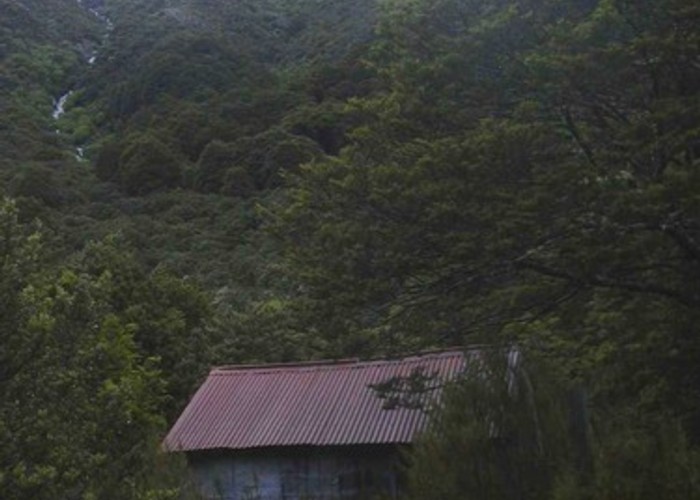
Kay Creek Hut is basic but a much more pleasent alternative to Scott Creek Hut for those wishing to spend a night.
Kay Creek Hut to Upper Caples Hut
6km (1.5 - 3 hours)A clearly marked track crosses the creek immediately below Kay Creek Hut and follows the river thogh beech forest and occasional gravel flats to the Caples Valley. Slight differeneces exist between the actual route and the map: the crossing back to the true right of the creek is in the gravel flats about 800m beyind where it is shown on the map. The route ot the swingbridge to cross the Caples River climbs over the ridge on the right of the valley, rather than following the creek to the confluence. However, the route is well marked and it is hard to lose your way!
The Upper Caples Hut is just downstream of the swingbridge.
Upper Caples Hut to Mid Caples Hut
7km (1.5 - 3 hours)It is an easy walk along clearly marked and well maintained track from the Upper to Mid Caples Hut. The track follows the wide grassy river flats on the true right of the river, with occasional tongues of beech for variety. Mid Caples Hut sits on a bench over the river providing encompassing views of the valley flats.
ID 1699
About this track
89 views in the past year (7 per month).