Bivvy Track
Ohinetahi Bush Reserve
- 25 min one way
- Medium
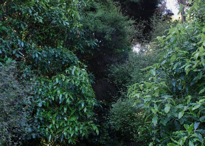
Descending from the Christchurch Summit Road into Ohinetahi Reserve.
|
Walking time
|
25 min |
|---|---|
|
Distance
|
0.7km |
|
Type
|
One way
|
|
Grade
|
Medium
Rudimentary track formation, and very lightly marked. Slippery underfoot. Grades explained
|
|
Bookings
|
No bookings — open access
No — open access
|
|
Starts
|
-43.623937, 172.628746. Summit Road, Christchurch. Small car park opposite Kennedy's Bush Track car park. |
|---|---|
|
Ends
|
O'Farrells Track, Ohinetahi Reserve. |
|
Maps
|
NZTopo50-BX24
|
|
Altitude
|
195m
–
406m
Altitude change 211m
|