Ohinetahi Bush Reserve
Outstanding block of forest located on eastern slopes of the Christchurch Port Hills above Governors Bay.
1 member favourited
The reserve is owned by the Summit Road Society, and protected by a Queen Elizabeth II covenant.
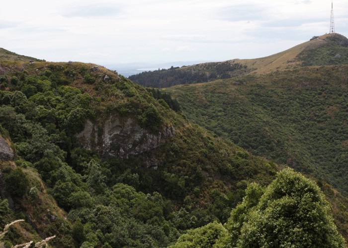
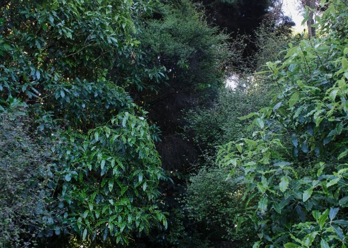
The reserve features a rich network of relatively basic walking tracks, leading from dry grasslands of the Summit Road down into damp, verdant forest. Tracks start and end at different points, so it is over to you to form your own circuits. It is a good idea to carry a map of the tracks.
Following are some recommended circuits, easiest first:
- Ellas Track, Cass Ridge Track, and the Crater Rim Walkway. Easy walking near Sign of the Bellbird.
- Titoki and Ngaio Tracks. Explore a forested gully above Governors Bay.
- Faulkners, South Boundary, Watlings, Trig V Track. A more challenging circuit with bluffs, forest, and grassland.
- Bivvy, O'Farrells, Bush Road Tracks. Steep forest walk on vague and interesting trails.
Resources
|
Area
|
2 square kilometres |
|---|---|
|
Established
|
1992 |
|
Maps
|
NZTopo50-BX24
|
ID 16263
About this place
66 views in the past year (6 per month).