Bivvy Track
Ohinetahi Bush Reserve
- 25 min one way
- Medium
- Summit Road to Totara Log Track: 10 minutes
- Totara Log Track to O'Farrells Track: 15 minutes
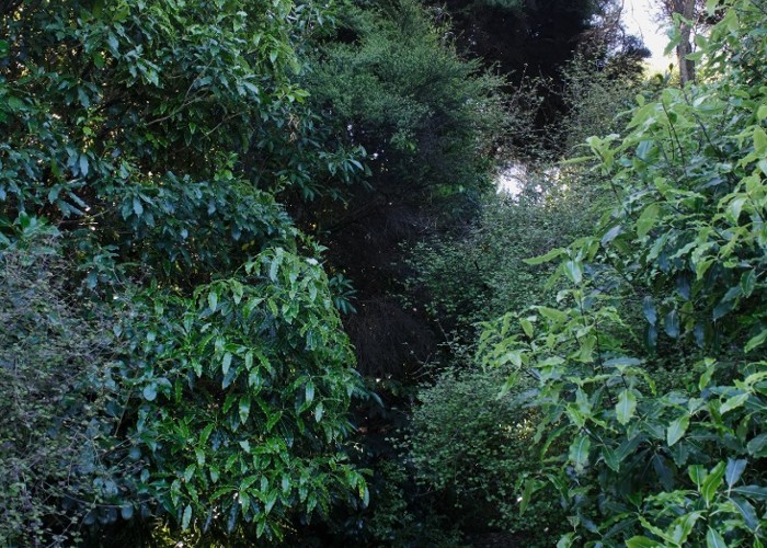
Descending from the Christchurch Summit Road into Ohinetahi Reserve.
|
Walking time
|
25 min |
|---|---|
|
Distance
|
0.7km |
|
Type
|
One way
|
|
Grade
|
Medium
Rudimentary track formation, and very lightly marked. Slippery underfoot. Rockfall hazard. Grades explained
|
|
Bookings
|
No bookings — open access
No — open access
|
|
Starts
|
Summit Road, Christchurch. Small car park opposite Kennedy's Bush Track car park. |
|---|---|
|
Ends
|
O'Farrells Track, Ohinetahi Reserve. |
|
Maps
|
NZTopo50-BX24
|
|
Altitude
|
195m
–
406m
Altitude change 211m
|
The Bivvy Track is located on the Harbour face of Christchurch's Port Hills, part of the cone of the extinct Lyttelton Volcano. Look for two car parks on either side of the road between Hoon Hay Reserve and the Sign of the Bellbird.
Several tracks lead away from the car park: the Bivvy Track is signposted, and drops steeply into the forest of Ohinetahi Reserve on the harbour side of the crater rim.
The track is ferny, cool, and a little hard to follow. Look for worn red paint marks on the trees. After 10 minutes, the track crosses the Totara Log Track, joins a little stream, and crosses to the true left. Here it ends at the wide O'Farrells Track.
There are many options from here. A good loop is to take O'Farrells Track left then return to the Summit Road via the Bush Road Track.
Walking times: