Pureora Forest Park

Information may be incorrect: you are not viewing the latest version of this page. This version ID 1748 created 10 June 200610 June 2006 by matthewmatthew.

Podocarp forest west of Lake Taupo, with bird life including the North Island kokako. Highest point: 1165m (Pureora).
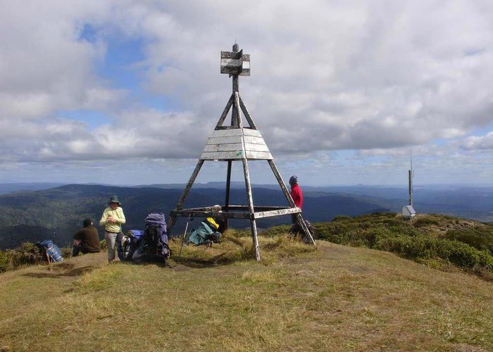
Mt Pureora Summit • By pmcke.
Area
803 square kilometres
Maps
NZTopo50-BG35
NZTopo50-BF35
Map
ID 1450

About this place

Added 10 June 2006 by matthewmatthew. 2 revisions, most recently 10 June 2006 by matthewmatthew.
159 views in the past year (13 per month).