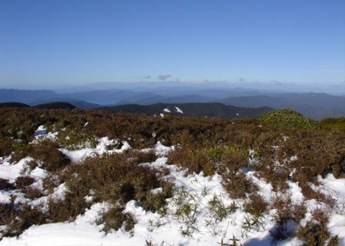
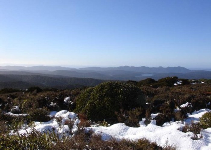
Te Urewera National Park
Established in 1954, this is the fourth largest national park. The landscape is remote and heavily forested, featuring the famous Lake Waikaremoana.
The park is the traditional home of Ngāi Tūhoe. In September 2012, Tūhoe accepted an offer of redress from the Crown. The deed of settlement is not yet signed as of March 2013. Once signed, Te Urewera will no longer be a national park, but will be co-governed by both Tūhoe and The Crown under the Te Urewera Act. Provisions will include protection of biodiversity, heritage, and public access.
Further information: http://www.ngaituhoe.iwi.nz/Settlement/T%C5%ABhoeSettlementOffer.aspx
|
Area
|
2,127 square kilometres |
|---|---|
|
Established
|
28 July 1954 |
|
Maps
|
NZTopo50-BG39
NZTopo50-BG40 NZTopo50-BF40 |
ID 1434
About this place
70 views in the past year (6 per month).