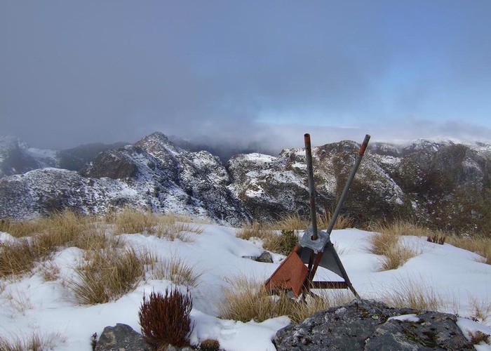
Mount Bovis
Paparoa National Park
- 6 hr – 8 hr return via same track
- Easy
Day trip to a 1252m summit off the Paparoa Range behind Bullock Creek farm.
2 members favourited
2 members checked in
|
Walking time
|
1 day
6 hr – 8 hr
|
|---|---|
|
Type
|
Return via same track
|
|
Grade
|
Easy |
|
Bookings
|
No bookings — open access
No — open access
|
|
Starts
|
Track begins at the last paddock along Bullock Creek |
|---|---|
|
Maps
|
NZTopo50-BS20
|
|
Altitude
|
120m
–
1,252m
Altitude change 1,132m
|
ID 1401
About this track
61 views in the past year (5 per month).