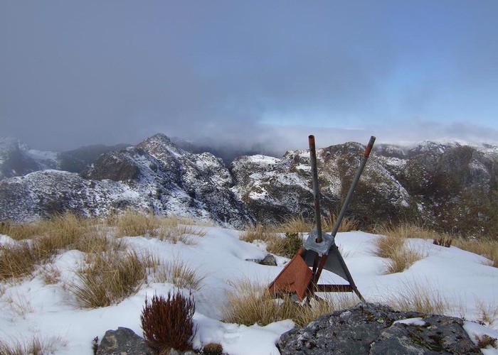
View SE from Mt Bovis August 2011
Paparoa National Park

This pic shows the fallen down trig on the summit of Bovis and looks in a south easterly direction toward the spine of the Paparoa Range.
A return trip to the summit of Bovis is a comfortable day walk! The DOC sign post where the Inland Pack Track meets the end of Bullock Creek Road says 5hrs one way. This is generous. You can actually drive quite a bit further beyond this in a car tho we didn't. The track/route is marked all the way to the top & is in quite good condition at the moment.
We noted that parts of the high bush alongside the track are badly eaten out by possums. We saw, heard & smelt goats from the old farmland at the track start right up to the tussock line.
