Mae West Bivouac
A 7-bunk hut (no idea why it's called 'biv') on the bushedge on the south face of the Dingleburn. There'a a fire, creek water, but no toilet. Bunks are sacking / hessian - no mattresses. There is also no axe.
The hut is overdue a little maintenance. The hut appears to sit on DOC land, but is not listed in either their public or internal list of huts and structures. So either it's not DOC's, they don't know it's there (unlikely: it's marked on the map) or they're ignoring it for some reason.
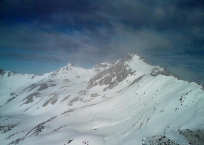
The large ridge 1km west of the hut provides easy access down to the Dingleburn.
Ascending directly behind the hut gives easy access to the ridgeline between the Dingle and Timaru Creek. 500m east is an easy pass over to Top Timaru Hut. Continue west along the ridgeline to access either fork of Chamois Creek, giving access to Moonlight and Roses Hut and the lower Timaru Creek. This is an alpine route and involves a tricky section just beyond pt1089.
|
Owner
|
Owner: DOC |
|---|---|
|
Category
|
Basic Hut/Bivvy |
|
Sleeps
|
Sleeps 7
7
|
|
Facilities
|
Open fireplace |
|
Water supply
|
Tap or tank water |
|
Getting there
|
Dingleburn (bush hut): Good ridge west of hut. Creek may also be possible Top Timaru Hut: 5km, 2-4hrs, route. Climb ridge behind hut and sidle east to obvious pass. Fence to valley floor. Timaru Hut at confluence with Timaru Creek. Moonlight & Roses Hut: 4-8hrs, alpine route. Climb to ridge behind hut and follow west past pt 1809 to head of east fork of Chamois Creek. Drop to creek, and follow to forks. Route up west fork to hut sidles ~100m above creek on true right |
|---|---|
|
Unlocked
|
This hut is unlocked and open to access. |
|
Bookings
|
No bookings — open access
No — open access
|
|
Altitude
|
1,100m |
|---|---|
|
Mobile phone coverage
|
No coverage |
|
Maps
|
NZTopo50-CA13
|