
It connects with the Routeburn Track and offers a relaxing antidote to the drama and bustle of that Great Walk. It is also often walked in combination with the neighbouring Caples Track to form a 4-5 day circuit. If you are planning to walk the Greenstone Track on its own you may prefer to start at the Wakatipu end, walking from there into the spectacular scenery around the Milford Road. Yellowheads are present in the area, and may be seen occasionally feeding at the forest margins. Small bush birds, they are a little shy and distinguished by their canary yellow heads and breasts. A threatened species, its populations are severely restricted regionally, and it is the subject of a Department of Conservation recovery plan.
The Greenstone River may contain Giardia, so care should be taken.
A guided walk is available.
Access
Public transport runs regularly along the Milford Road past the Divide. It is an hour's walk from here along the Routeburn to the beginning of the Greenstone Track at Howden Hut. Public transport is also available between Queenstown and the Lake Wakatipu track end. Check details before you set out in Te Anau or in Queenstown. The Greenstone Station Road is a rough 4WD track and may not be suitable for all private vehicles.
Howden Hut-Lake McKellar: ¾ hr, very easy
From the hut the Greenstone Track sidles around the edge of Lake Howden on an easy trail. A large camping area is nearby. This is the nearest available camping to the Routeburn Track.
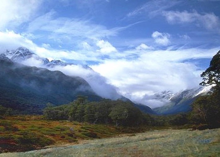
The track drops easily beyond the vague saddle (Lake Howden drains north to the Hollyford River and out to the Tasman Sea, while Lake McKellar drains south to the Greenstone River, Lake Wakatipu, the Clutha River, and the Pacific Ocean), emerging from the bush at the head of Lake McKellar and the junction with the Caples Track. A good view is afforded of the McKellar Saddle's hanging valley and Jean Batten Peak beyond.
Lake McKellar-McKellar Hut: 1 hr, very easy
The track south through beech forest is easy, fast and smooth. Pastel-tinted, porous, misty-looking rocks along here are pieces of Wooded Peak limestone. The Livingstone Fault runs directly down this valley. The edge of Fiordland National Park is a few minutes before McKellar Hut. Lumps of black serpentinite, often weathered yellow, may be in the river beside the hut. Occasional pieces have tiny veins of asbestos running through them.
McKellar Hut-Mid Greenstone Hut: 3½-4½ hr, easy
Cross the bridge opposite the hut. The tussocks on the boggy flats are very tall and handsome. Yellowheads and parakeets (not to mention paradise ducks) may be seen and heard in the bush edge. The track stays, irritatingly, a few metres into the bush most of the way.
Beyond some old, rocky slips, a waterfall marks the private Rats Nest Hut across the valley. The valley floor rises as it nears the alluvial foot of Steele Creek and the river cuts into a gorge. Out in the open, the track winds onto the rolling shrub-land. Across Steele Creek on a high swingbridge and into beech forest, a private lodge is passed before the DOC hut.
Mid Greenstone Hut-Mavora Greenstone Walkway Junction: 1 hr, easy
The track keeps to the sunny valley floor until the river begins its long leftward bend around the foot of the Ailsa range. As you climb into the forested slopes, Passburn Hut can be seen across the river. The valley is steep and narrow from here out to the Caples confluence. A sign soon marks the junction with the Mavora-Greenstone Walkway.
Mavora-Greenstone Walkway Junction-Slyburn Hut: 10 min, easy
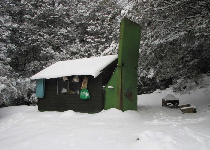
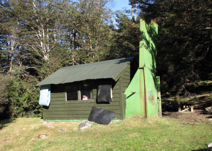
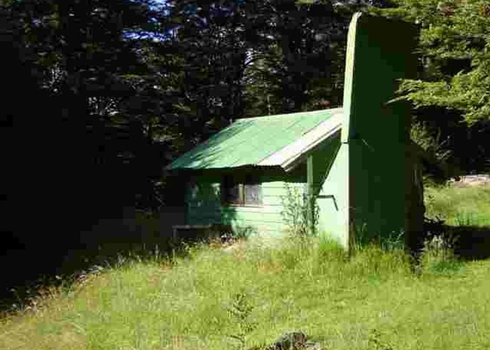
Slyburn Hut may be reached by following the track over the Greenstone River. The well situated, pretty little hut, has no heating and fills up quickly. There is ample camping in the area.
A swimming hole located just upstream of the bridge and the adventurous may reach it as follows. From the hut follow the sign indicating "To Passburn & Taipo hut 4 hours" downhill until a "<= Track" sign at the bush edge marks the beginning of this track. Walk straight past this sign twenty steps downhill to a cairn marking the beginning of another track. Follow this track for ten minutes, watching for a junction where a path leads directly toward the river. Follow this to the river-bank, then return downstream about 100 steps along the slippery rocks at the water's edge. A deep, eddying pool is obvious scooped from the rock by the river.
Mavora Greenstone Walkway Junction-Greenstone / Caples Confluence: 2-3 hr, easy
After a time in the forest Slip Flat is encountered, an open (and not very flat) grassy space on a hillside crossed by a creek. An emergency bridge lies upstream. Crumbling greenish black lumps of serpentinite are notable on the ground, while Tooth Peak is an obvious shape on the skyline. Down near the river, the route divides with a track to Lake Rere straight ahead and the Greenstone Track bending left. Keep to the left and cross a wooden bridge when you come to it in a moment or two. Turn left, upstream and away from the Greenstone River here (if you turn right you will cross the Greenstone after 10 min, on your way to Lake Rere after all). Climbing high above the river, the track edges past the deep, bare cuttings of two small waterfalls before dropping back down and crossing the welcome open foot of the Caples Valley. Across the swingbridge you meet the Caples Track.
Greenstone / Caples Confluence-Greenstone Car Park: ½ hr, easy
A brief and energetic climb above the river and back down past a stockbridge concludes the track.