Kaiapoi Island Trail
Waimakariri River Regional Park
- 4 hr loop track
- Easy
- Kaiapoi to Wrights Road Entrance: 1 hr
- Wrights Road Entrance to Smith Stream (River Route): 45 min
- Smith Stream loop: 20 min
- Smith Stream to Wrights Road Entrance (Forest Route): 45 min
A long flat loop next to the Waimakariri River.

|
Walking time
|
1 day
4 hr
|
|---|---|
|
Distance
|
18.5km |
|
Type
|
Loop track
|
|
Grade
|
Easy |
|
Bookings
|
No bookings — open access
No — open access
|
|
Starts
|
Corner Raven Quay and Bowler Street, Kaiapoi |
|---|---|
|
Maps
|
NZTopo50-BW24
|
|
Altitude
|
5m |
This track is a long flat walk under trees and along stop banks. The landscape is unremarkable, but it is a good area for exercise, dog walking, family cycling, or simply zoning out with a music player.
Start this walk from Kaiapoi or from the Kaiapoi Island park entrance at Wrights Road (off the Main North Road on the north bank of the Old Waimakariri Bridge). From here, you could walk the whole track, or just the western loop (9.5km) or the eastern track (9km). Viable options range from just 20 minutes for Smith Stream, to 2 hours for the trails east or west of Wrights Road, through to 4 hours for the entire journey.
Trail East
From the corner of Raven Quay and Bowler Road in Kaiapoi, follow the stopbank along the Kaiapoi River. This river is actually the old north branch of the Waimakariri that formed Kaiapoi Island until a public works scheme closed off the branch in the 1930s. The trail passes earthquake damaged houses, crossing Courtenay Stream to enter the Waimakariri River Park. The stopbank makes a long bend around farm paddocks, soon turning right to travel up the Waimakariri River. At this corner, a 5-minute side track drops off the stopbank to lead out to Burke's Point, where the two rivers meet.
The stopbank walk passes the Poynter Nature Reserve on the left, a pocket of remnant forest surrounded by willow trees. The walking track through the reserve is no longer open as it has subsided into wetland since the 2011 earthquake. Look for cabbage trees, kowhai, harakeke, lacebark.
Past the nature reserve, the track drops off the stopbank and into the Railway Reserve, a wide grassy area dotted with trees. Over the road, the track passes Monopoli's Pond and wanders under poplars next to the river. It soon eases under the road and rail bridges to the Wrights Road Entrance car park with information boards and toilets.
River Route
From the Wrights Road Entrance, a trail leads under the motorway bridge spans and crosses to the riverbank. The sandy trail leads under willows with views out onto the wide Waimakariri Riverbed. Look for stilts, black-fronted terns, swallows, shags, and plovers. After 30 minutes, the track crosses into scrappy willow forest and meets a vehicle track at Smith Stream.
Smith Stream Loop
Smith Stream is a deep, clear spring-fed stream with native planting along its banks and fantails flitting overhead. The short walk soon leads up onto a stopbank and returns back down a groyne to the starting point, where both the Forest and River Routes lead into the willow forest.
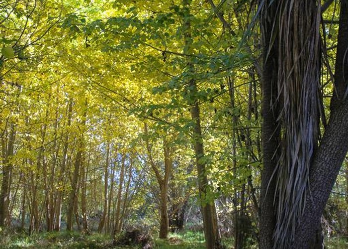
Forest Route
From Smith Stream, the trail leads through willow and poplar forest next to the stopbank, eventually opening out at the motorway bridges and passing under them to the Wrights Road Entrance. Look for grey warblers, fantails, and rabbits.