Waimakariri River Regional Park
A multipurpose recreational park located on the lower Waimakariri River north of Christchurch.
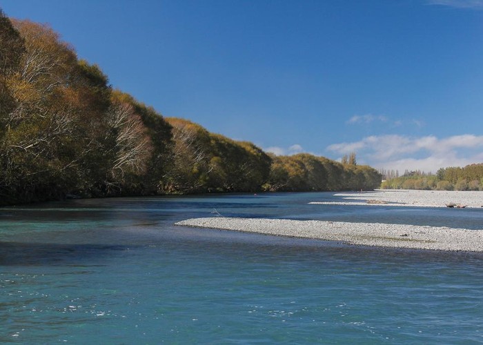
Waimakariri River Regional Park starts about halfway across the Canterbury Plains and extends eastward, out to the river mouth at Pegasus Bay. Much of the land within the park comprises old river channels or islands in the lower river. Stopbanks and engineering constructed in the 1930s closed off the southern river channels, so that the islands are now a part of the south bank.

The river offers boating, kayaking, swimming and fishing, while on land there are spaces for 4WD vehicles, trail bikes, mountain bikes, horses, walkers and runners.
The park is divided into five sections which are being developed sequentially. These are:
- McLeans Island
- Kaiapoi Island
- Templars Island
- Te Rauakaaka
- McIntoshs
Highlights
- McLeans Island Trail (shared use)
- Kaiapoi Island Trail (shared use)
How to get there
Primary access points are McLeans Island Road, Dickeys Road off SH1 (both south bank), and Wrights Road off the Main North Road (north bank).
The basics
- Entrance fee: no fees. Gates are closed overnight.
- Pets: Dogs under control are permitted. They should be kept on leads around nesting birds or on the Poynter Nature Walk.
- Vehicles: various areas are available for 4WDs, trail bikes, and mountain bikes.
- Overnight camping is allowed on the north bank west of Diversion Road and on the south bank west or Thompsons Road. No facilities are provided.
|
Area
|
150 square kilometres |
|---|---|
|
Established
|
30 September 2006 |
|
Maps
|
NZTopo50-BW24
NZTopo50-BX23 |