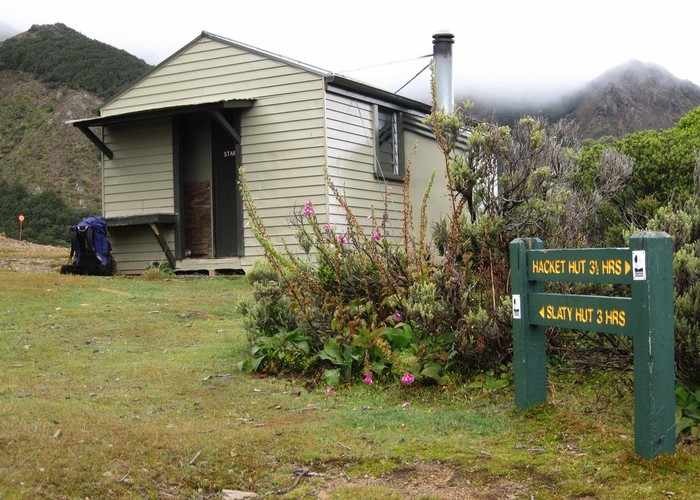
Mt Richmond Alpine Route
Mount Richmond Forest Park
- 4 days one way
- Medium
Long route above the bushline in Mt Richmond Forest Park near Nelson.
2 members favourited
1 member checked in
|
Walking time
|
4 days
33 hr 30 min – 35 hr 30 min
|
|---|---|
|
Type
|
One way
|
|
Grade
|
Medium
Rugged tops terrain with little or no formed track. Grades explained
|
|
Bookings
|
No bookings — open access
No — open access
|
|
Starts
|
Hacket road end, Aniseed Valley Road, Richmond |
|---|---|
|
Ends
|
Goulter Road end, North Bank, Wairau River |
|
Maps
|
NZTopo50-BR26
NZTopo50-BQ26 |
|
Altitude
|
1,731m |