Mt Richmond Alpine Route
Mount Richmond Forest Park
- 5 days one way
- Medium
Long route above the bushline in Mt Richmond Forest Park near Nelson.
|
Walking time
|
5 days
33 hr 30 min – 35 hr 30 min
|
|---|---|
|
Type
|
One way
|
|
Grade
|
Medium
Rugged tops terrain with little or no formed track. Grades explained
|
|
Bookings
|
No bookings — open access
No — open access
|
|
Starts
|
Hacket road end, Aniseed Valley Road, Richmond |
|---|---|
|
Ends
|
Goulter Road end, North Bank, Wairau River |
|
Maps
|
NZTopo50-BR26
NZTopo50-BQ26 |
|
Altitude
|
1,731m |
The Alpine Route is a challenging journey from the plains of Tasman Bay to the tectonic rift of the Wairau River. It leads over alpine tops, but is well-serviced with huts. Exit the southern end of the track at the Goulter River road end or loop back to the Wairoa Gorge road end inland from Wakefield.
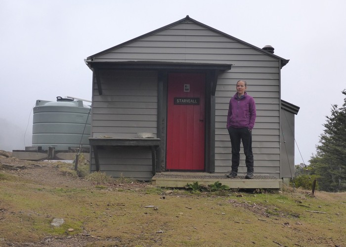
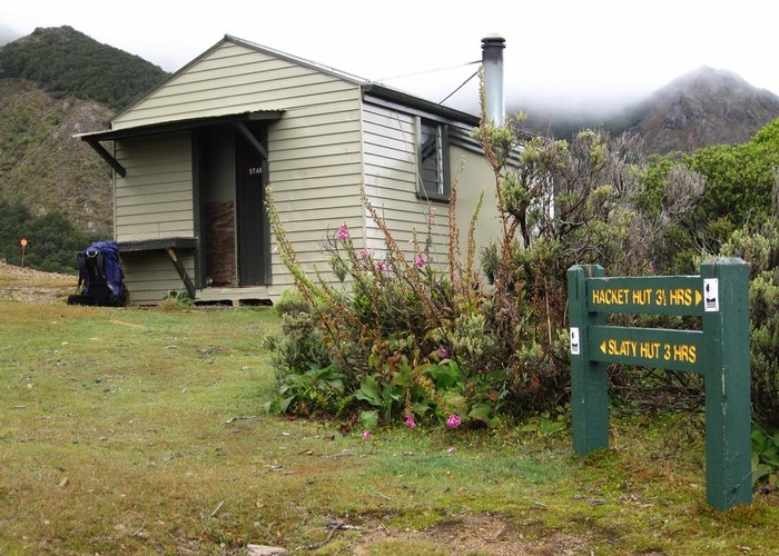
From Hacket Road picnic area, the route passes Hacket Hut and climb to Starveall Hut (6 hours). Poles head past Mount Starveall (side trip optional) toward Slaty Peak and hut (2.5 hours). The route continues to Old Man Peak, then passes a junction to Lake Chalice, continuing to Old Man Hut (5 hours). The route summits Little Rintoul and Mount Rintoul, the highest point at 1731 metres, then drops to Rintoul Hut (5 hours). The route climbs Purple Top and comes to Tarn Hut (5 hours). From Tarn Hut, it is 5-6 hours to either the Wairoa Road end or to the Goulter Road end.