Moonlight and Roses Hut
Hāwea Conservation Park
A well maintained 4-bunk hut between Timaru Creek and the Dingle Burn. The hut and land it lies on are private, owned by Dingleburn Station - however the sign at the entrance to Timaru Creek states that the hut is open for public use. The walls of the hut are adorned by the usual DOC pollution: 'The water at this facility is fit ...' 'Fire Exit', 'The use of gas ...' so some sort of co-management seems to be underway.
An iron clad hut with no insulation, so may be a tad chilly (though the 1.5 foot of snow covering it on the day I visited may have provided some thermal resistance). However, the bunks look new: 2 doubles and 2 singles, but only 4 single mattresses. There's an open fire and plenty of firewood around.
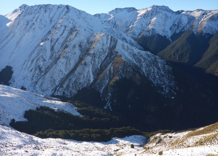
The hut lies near the head of the western fork of Chamois Creek, and is easiest accessed up Chamois Creek from Timaru Creek. Other options include the ridgeline between Chamois and Deer Spur creeks, or over from the Dingle Burn, poss. via Mae West Biv
|
Owner
|
Owner: PVT |
|---|---|
|
Category
|
Standard Hut |
|
Sleeps
|
Sleeps 4
4
|
|
Facilities
|
Open fireplace |
|
Water supply
|
Tap or tank water |
|
Getting there
|
Timaru Creek bridge: track / route. Hut -> Junction hut. 7km 2-3hrs via Chamois Creek - route on terrace above river to forks, then river flats to Timaru Creek confluence. Multiple river crossings in gorgey section above confluence. Ridgeline also an option. -> Road bridge: 4km, 1-2hrs track. Multiple river crossings Mae West Biv / Bush Hut (dingleburn) routes reportedly possible Top Timaru Creek Hut via Chamois Creek east fork also reportedly an option. |
|---|---|
|
Unlocked
|
This hut is unlocked and open to access. |
|
Bookings
|
No bookings — open access
No — open access
|
|
Altitude
|
1,020m |
|---|---|
|
Mobile phone coverage
|
No coverage |
|
Maps
|
NZTopo50-CA13
|
|
Link
|
www.doc.govt.nz/p...http://www.doc.govt.nz/parks-and-recreation/hunting/where-to-hunt/otago/hawea-conservation-park-hunting/where-to-hunt/timaru-river-hawea/ |