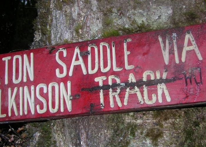
Wilkinson Track
Kahurangi National Park
- 4 hr – 6 hr one way
- Medium
Cleared by DoC in November 2011, the lower third of the track is now easily climbed. Above this, the track climbs its way through mixed forest and is easily negotiated.
|
Walking time
|
1 day
4 hr – 6 hr
|
|---|---|
|
Distance
|
5.0km |
|
Type
|
One way
|
|
Grade
|
Medium |
|
Bookings
|
No bookings — open access
No — open access
|
|
Starts
|
Leslie River, between Karamea Bend Hut and Spludgeons Shelter |
|---|---|
|
Ends
|
Baton Saddle |
|
Maps
|
NZTopo50-BQ24
NZTopo50-BQ23 |
|
Altitude
|
300m
–
1,370m
Altitude change 1,070m
|
One creek crossing (at 450m) would be difficult after heavy rain.
The track to the tree-line is mostly steep, the only descent (40m) encountered is coming off the 905m knoll.
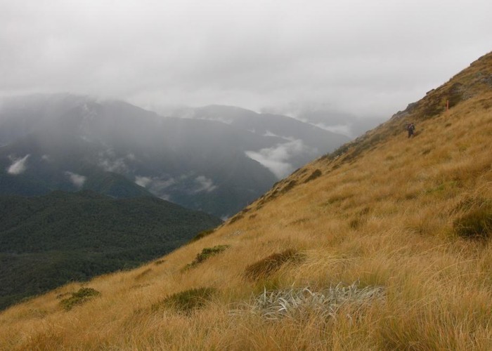
Above the tree-line, the route to Baton Saddle is marked by snow-poles. Initially a push through Spaniard grass and a steep climb through more open alpine grasses, the route finally sidles across to the saddle.
ID 6781
About this track
89 views in the past year (7 per month).