Mangatoetoe Hut
Aorangi Forest Park
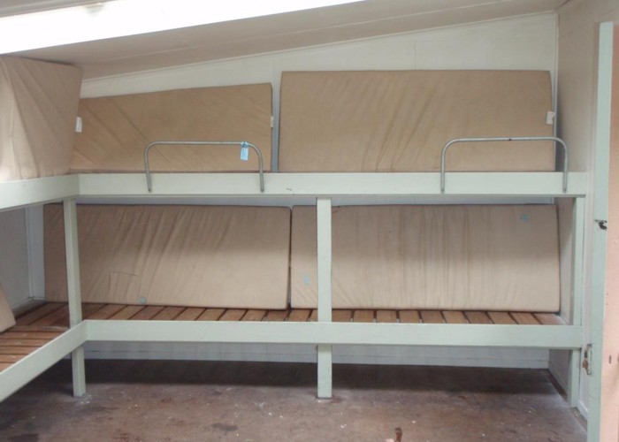
Mangatoetoe Hut in the Haurangi Forest Park is the last of the huts built in the park, constructed in 1978. It's a comfortable 6 bunker in tall manuka bush on the Mangatoetoe river flats on the park boundary. There's an open fire, plenty of firewood and tank water. The hut gets a good bit of use by hunters and by Haurangi standards is well cared for. That said, in common with all huts in the Haurangis, basics like emptying the ash, carrying out empty gas bottles, or sweeping the floor seem to get overlooked.
The hut is 3.5km upriver from the Cape Palliser road: 3.5km of travel up gravel river flats with multiple crossings. Easy going in most conditions. However, flood debris shows that the whole of the gravel flats are covered after heavy rain: be warned this is not a 'wet weather option'.
The hut is in manuka bush on the true left, easy to miss. Use your map and keep your eyes open for the start of the track. Above the hut manuka gives way to podocarp bush.
|
Owner
|
Owner: DOC |
|---|---|
|
Category
|
Standard Hut |
|
Sleeps
|
Sleeps 6
6
|
|
Facilities
|
Toilet, Open fireplace |
|
Water supply
|
Tap or tank water |
|
Getting there
|
Mangatoetoe Bridge, Cape Palliser Road: 3.5km (1-2hrs), gravel river flats with multiple creek crossings. Kawakawa Hut: 7km (2-4 hours). A track is marked on the new topo50 maps between these two huts, however in reality it's a riverbed route for the first 2km above each hut. A good cut, marked track does however cross the Kawakawa Saddle, starting at the forks 2km above Mangatoetoe hut. |
|---|---|
|
Unlocked
|
This hut is unlocked and open to access. |
|
Bookings
|
No bookings — open access
No — open access
|
|
Altitude
|
100m |
|---|---|
|
Mobile phone coverage
|
No coverage |
|
Maps
|
NZTopo50-BR33
|