Mount Barron Route
Arthur's Pass National Park
- 2 hr one way
- Medium/hard
Old access track onto the Mount Barron tussock tops.
|
Walking time
|
2 hr |
|---|---|
|
Distance
|
2.0km |
|
Type
|
One way
|
|
Grade
|
Medium/hard
Clamber over some loose rock approaching the tops Grades explained
|
|
Bookings
|
No bookings — open access
No — open access
|
|
Starts
|
200m north of the Otira bridge, SH73, Otira |
|---|---|
|
Ends
|
Tussock zone on way to Mt Barron |
|
Maps
|
NZTopo50-BV20
|
|
Altitude
|
415m
–
1,256m
Altitude change 841m
|
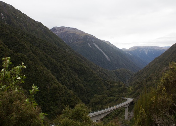
Mount Barron marks the northern end of the Barron Range behind Otira. Pull off at the Death's Corner lookout point near the Otira Viaduct for a good view of the mountain. From here, you can see the steep, forested lower slopes giving way to some rocky bluffs before finally breaking out into rolling tops. These bluffs mark the vertical extent of a glacier that once rolled down the Otira Valley.
There are two routes up Mount Barron, and it is possible to take in the summit and form a circuit. Once on the tops, all traces of any ground trail disappear. This route was originally cut by railway surveyors. Although it had fallen into disrepair, it has been cleared and marked recently.
Look for this route opposite the blue highway sign about 200m north of the Otira river bridge. The track start is marked, but easily overlooked.
The first few metres of track at the bush edge are rather overgrown. But once inside the forest, the track is well benched and in good condition. A very pleasant trail zigzags up the hillside under tōtara and rātā trees.
After an hour, the track transitions into lower forest and scrub. Here, the track cutters have abandoned the original line and cut straight uphill.
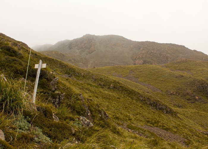
Soon begins a hand-over-hand scramble up loose rock as you make your way through bluffs. Watch for marker poles and keep to the rocky ridge at the edge of a slip. Take care as the rock is loose and crumbly. After 30 minutes, the climb breaks out onto tussock land marked by an old track sign.
From here, you are on your own.