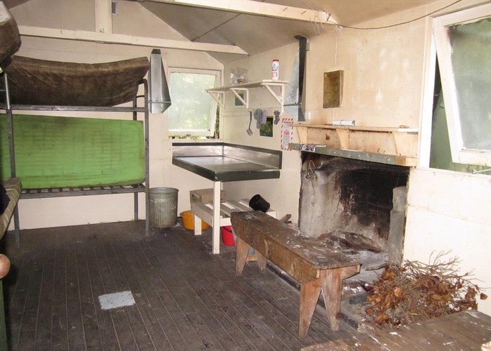
Mid Waiohine Hut
- 2 days return via same track
- Medium
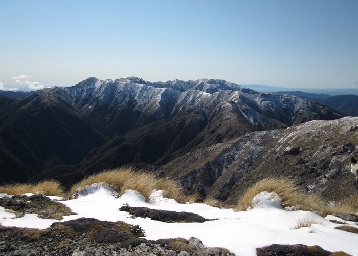
Steep climb on well maintained track to Mt Holdsworth (1470m) then a steeper descent into the Waiohine Valley. Return via same track.
1 member favourited
2 members checked in
|
Walking time
|
2 days
12 hr – 16 hr
|
|---|---|
|
Distance
|
11.0km |
|
Type
|
Return via same track
|
|
Grade
|
Medium
Mostly below bushline with a short tops traverse over Mt Holdsworth. Grades explained
|
|
Bookings
|
No bookings — open access
No — open access
|
|
Starts
|
Holdsworth Road End, Masterton |
|---|---|
|
Ends
|
Mid Waiohine Hut |
|
Maps
|
NZTopo50-BP33
NZTopo50-BP34 |
|
Altitude
|
300m
–
1,470m
Altitude change 1,170m
|
|
Link
|
maps.google.com/maps?t=h&hl=en&ie=UTF8&ll=-40.882631,175.432434&spn=0.09656,0.089092&z=13http://maps.google.com/maps?t=h&hl=en&ie=UTF8&ll=-40.882631,175.432434&spn=0.09656,0.089092&z=13 |
|---|
An early start should see you lunching at Powell Hut Powell Hut, Mount Holdsworth, Carterton. The climb over Mt Holdsworth is above the treeline and exposed. Careful nagivation is required to get the right track down to Isabelle in cloud. The steep descent through thick beech is rough and care is required down to Mid Waiohine Hut Mid Wiohine Hut.
Allow 6 to 8 hours each way.
Maps: 1:50,000 - Carterton 260-S26, or Terralink Tararua Recreation Area Map (also 1:50,000)
ID 4448
About this track
Added 28 September 2009 by AlcathazmatAlcathazmat.
1 revision 28 September 2009 by AlcathazmatAlcathazmat.
50 views in the past year (4 per month).