Mt Somers Track (South Face)
Hakatere Conservation Park
- 1 day return by the same track
- Easy/medium
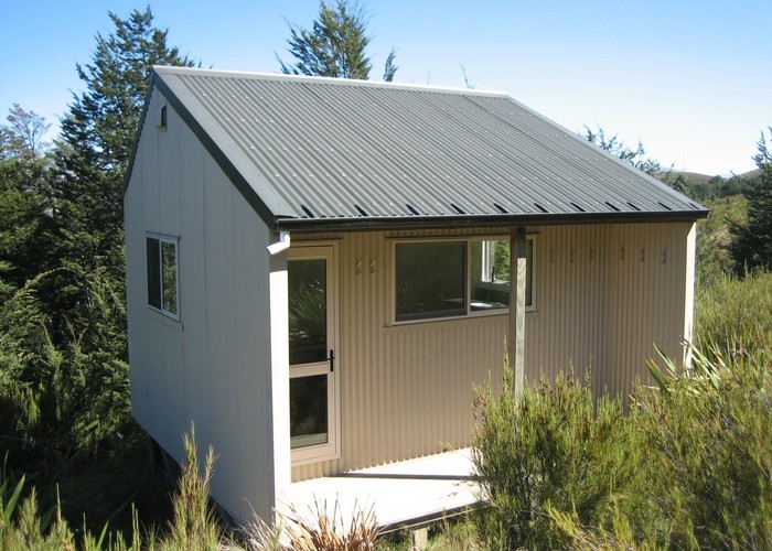
Woolshed Creek Hut - Rhyolite Ridge Track junction (4 km) Time: 2 hr. The route takes in dynamic scenery with regenerating mountain beech forest within a vaulted landscape of waterfalls, deep, icy pools and forbidding rocky tors. From the hut the route climbs 500 metres to a local feature known as the Bus Stop overhang. From here the track crosses the western face of Mt Somers linking to Rhyolite Ridge Track.
Mt Somers Track (south face): Rhyolite Ridge Track junction - Mt Somers Summit Track junction (6 km) Time: 3 hr 30 min around the southern face of Mt Somers through a mix of open grassland and forested catchments. Grand views over Mid and South Canterbury.
Mt Somers Summit Track junction - Sharplin Falls carpark (4 km) Time: 2 hr 30 min The final steep downhill connection over Staverley Hill and down to Hookey Knob then through largely forested areas.
|
Walking time
|
1 day
7 hr – 9 hr
|
|---|---|
|
Distance
|
14.0km |
|
Type
|
Return by the same track
|
|
Grade
|
Easy/medium |
|
Bookings
|
No bookings — open access
No — open access
|
|
Starts
|
Woolshed Creek Hut |
|---|---|
|
Ends
|
Sharplin Falls Car Park |
|
Maps
|
NZTopo50-BX19
NZTopo50-BX20 |
|
Altitude
|
1,077m |
|
Link
|
www.doc.govt.nz/parks-and-recreation/tracks-and-walks/canterbury/raukapuka/mt-somers-tramping-tracks/http://www.doc.govt.nz/parks-and-recreation/tracks-and-walks/canterbury/raukapuka/mt-somers-tramping-tracks/ |
|---|