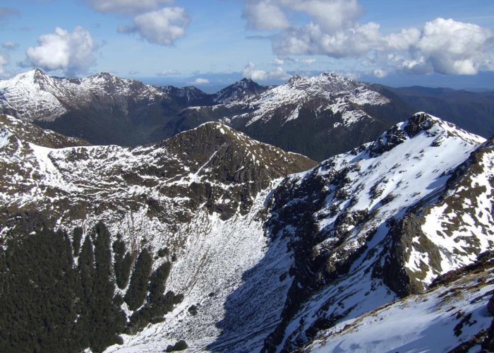
Mount Haast
Victoria Forest Park
- 4 hr return via same route
- Medium
Short but steep clamber up a prominent peak near Springs Junction
2 members favourited
5 members checked in
|
Walking time
|
4 hr |
|---|---|
|
Distance
|
4.0km |
|
Type
|
Return via same route
|
|
Grade
|
Medium |
|
Bookings
|
No bookings — open access
No — open access
|
|
Starts
|
Car park, Upper Inangahua River Bridge, 1.5km west of Rahu Saddle, SH7 |
|---|---|
|
Maps
|
NZTopo50-BT22
|
|
Altitude
|
650m
–
1,587m
Altitude change 937m
|
ID 379
About this track
105 views in the past year (9 per month).