Dusky Track
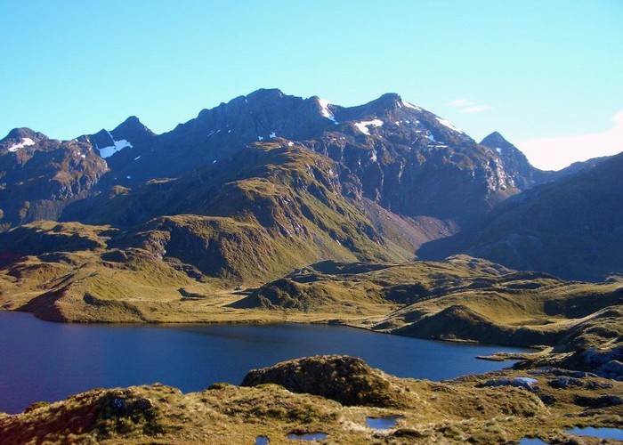
Fiordland National Park
- 4 – 8 days one way
- Medium
This journey explores the glacial valleys and mountains of Fiordland from Lake Hauroko to Lake Manapouri, visiting Dusky Sound along the way.
11 members favourited
13 members checked in
|
Walking time
|
4 – 8 days |
|---|---|
|
Distance
|
84.0km |
|
Type
|
One way
|
|
Grade
|
Medium |
|
Bookings
|
No bookings — open access
No — open access
|
|
Starts
|
Lake Hauroko |
|---|---|
|
Ends
|
Wilmot Pass Road, Lake Manapouri |
|
Maps
|
NZTopo50-CF06
NZTopo50-CE05 NZTopo50-CD06 NZTopo50-CE06 |
|
Altitude
|
Sea level
–
1,096m
Altitude change 1,096m
|
ID 298
About this track
402 views in the past year (34 per month).