Cass-Lagoon Saddle
Craigieburn Forest Park
- 2 days one way
- Medium
- Cass to Cass Saddle Hut: 3 hours
- Cass Saddle Hut to Cass Saddle: 45 minutes
- Cass Saddle to Hamilton Hut: 1 hour 45 minutes
- Hamilton Hut to Harper River junction: 20 minutes
- Harper River junction to West Harper Hut: 1 hour 45 minutes
- West Harper Hut to Lagoon Saddle Shelter: 2 hours 15 minutes
- Lagoon Saddle Shelter to Bealey Hut: 2 hours 15 minutes
- Bealey Hut to Cora Lynn car park: 5 minutes
This classic route from Cass to Cora Lynn Road circles the Black Range to form an open loop, and a grand tour of Craigieburn Forest Park.
|
Walking time
|
2 days
12 hr – 13 hr
|
|---|---|
|
Distance
|
33.0km |
|
Type
|
One way
|
|
Grade
|
Medium
Some route finding required. Grades explained
|
|
Bookings
|
No bookings — open access
No — open access
|
|
Starts
|
Cass River, Cass, SH73. |
|---|---|
|
Ends
|
Cora Lynn Road, off SH73 near Bealey Spur. |
|
Maps
|
NZTopo50-BW20
NZTopo50-BV20 NZTopo50-BV21 |
|
Altitude
|
580m
–
1,326m
Altitude change 746m
|
|
Link
|
www.doc.govt.nz/parks-and-recreation/tracks-and-walks/canterbury/waimakariri-area/cass-lagoon-saddle-tramping-track/http://www.doc.govt.nz/parks-and-recreation/tracks-and-walks/canterbury/waimakariri-area/cass-lagoon-saddle-tramping-track/ |
|---|
From Cass, the track starts at a car park by the Cass River. The safest parking is currently at the Cass Railway Station nearby, and that's worth visiting just to see what inspired the Rita Angus painting.
The western track end at Cora Lynn starts near the Arthur's Pass Wilderness Lodge. A public car park is marked by signposts.
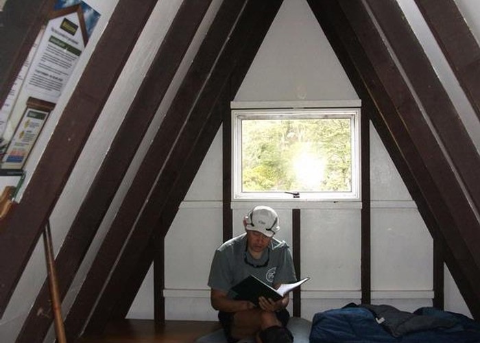
The road distance from end to end is 12.5km, and return options include hitching a lift, cycling, or prearranging transport (see the visitors' book for ideas). The track is easily walked in either direction, and well catered for with huts along the way, although many of them are oddly-located or rather sketchy. There is ample space for camping.
Cass to Hamilton Hut
This section follows the Cass-Harper Fault, and maintains a NE-SW direction right through to the Harper River junction near Hamilton Hut.
From the Cass car park, a 4WD track leads over dry river flats and peters out. Continue upriver, crossing several times. Occasional markers are located on the true right bank. After just over an hour, two similar-sized streams meet: this is the junction of the Cass River and Long Valley Stream. Keep left (true right). The track crosses a large slip then enters forest. From here, it's a narrow benched sidle, high above the river.
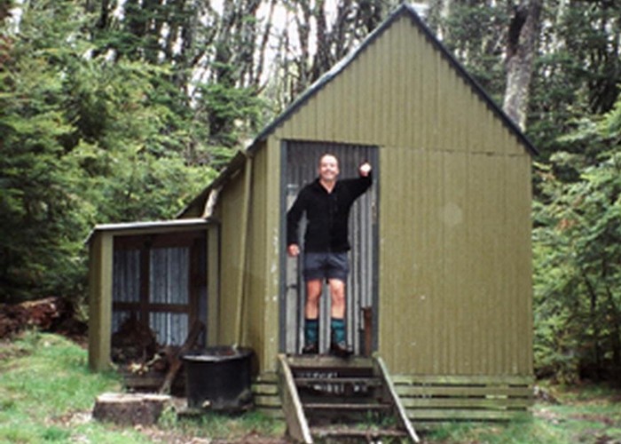
At a clearing, the track crosses a bridge to the true left and continues past a another slip. Cass Saddle Hut is nearby, located in forest by a pretty, mossy waterfall. Water is available here from the stream that emerges directly out of the ground just above the waterfall.
Beyond the hut, the track opens onto tussock tops to cross the gentle Cass Saddle (1326m). To the left is the Craigieburn Range, and the Craigieburn Valley and Broken River Skifields are directly over the ridge. To the right are the unnamed peaks of the Black Range. Over Cass saddle, the track drops quickly into beech forest and down to Hamilton Creek. An hour's sidle downstream leads to open river flats, and Hamilton Hut, situated at the back edge of the flats.
Hamilton Hut to Lagoon Saddle
From the hut, a track leads west about 500m to a new bridge. An informal track leads from here to the Mirror Tarn. This detour climbs up beside a slip to a lookout and a circuit of the tarn and takes about 30 minutes.
Back on track, the junction with the Harper River is nearby. The Harper Valley Track heads off to the south, while the route out leads north. Head north (upstream). a beech forest sidle leads between the Black and Grey Ranges to the historic West Harper Hut.
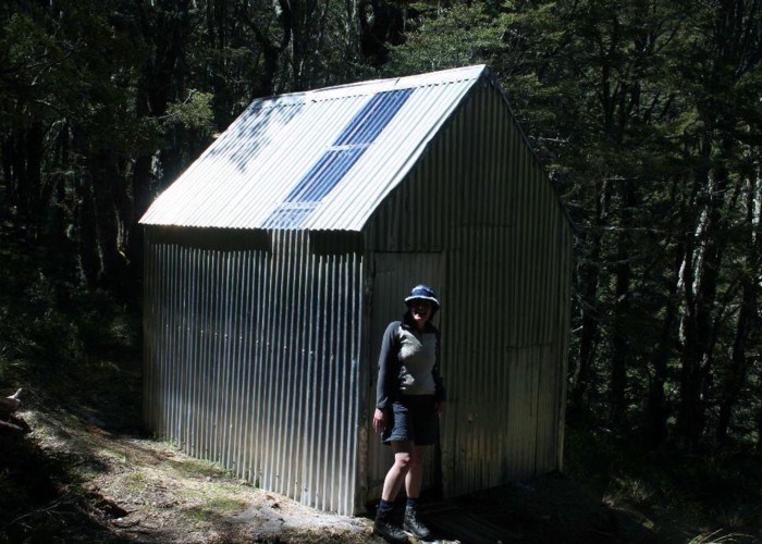
Onward, the track avoids a gorge by crossing a low knob and drops to river flats by Doubtful and Mangos Creeks. Crossing to the true left, a flood track starts up nearby if needed, marked by a large orange triangle. The riverbed becomes rougher, and a large cairn marks the point where the track enters forest on the true left. It moves from forest to riverbed several times on the ascent to Lagoon Saddle Shelter (1140m). There are no huts in the shelter, but another option is the shining silver Lagoon Saddle Hut across the creek.
Lagoon Saddle to Cora Lynn Road
From the shelter, the track climbs easily through mossy silver beech forest, past Lagoon Saddle to bend around Mount Bruce and onto a face of tussock and scrub. From here, there are impressive views of nearby Bealey and Blind Spurs, and the mountains along the Waimakariri River beyond. The track eases slowly off the hillside, zigzagging through a patch of pine forest then back into dry beech forest around Bealey Hut. An old 4WD track leads through scrub and out to the car park.