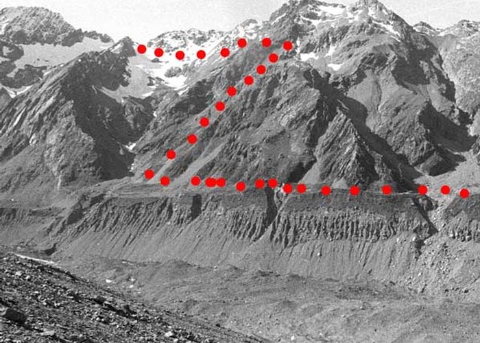
Ball Pass
Aoraki / Mount Cook National Park, Te Wāhipounamu - South West New Zealand World Heritage Area
- 2 – 3 days one way
- Hard
A challenging crossing of the Mount Cook Range between the Hooker and Tasman Glaciers just 5km south of Aoraki.

5 members favourited
9 members checked in
|
Walking time
|
2 – 3 days
10 hr – 13 hr
|
|---|---|
|
Distance
|
25.0km |
|
Type
|
One way
|
|
Grade
|
Hard |
|
Bookings
|
No bookings — open access
No — open access
|
|
Starts
|
White Horse Hill car park, Mount Cook Village |
|---|---|
|
Ends
|
Blue Lakes car park, Tasman Valley Road, near Mount Cook Village |
|
Maps
|
NZTopo50-BX15
|
|
Altitude
|
720m
–
2,121m
Altitude change 1,401m
|