Round the Mountain: Ruapehu
Tongariro National Park, Hauhungatahi Wilderness Area
- 5 days loop track
- Easy/medium
Combined with part of the Tongariro Northern Circuit, this track forms a loop around Mt Ruapehu. Combined with the other part of the Tongariro Northern Circuit, this track forms a longer loop around both Ruapehu and Ngauruhoe.
|
Walking time
|
5 days |
|---|---|
|
Type
|
Loop track
|
|
Grade
|
Easy/medium
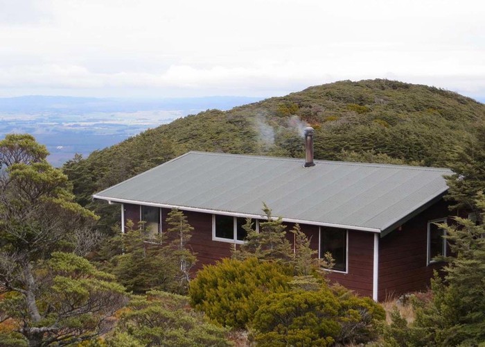
The track between Whakapapaitit Hut and Mangaturuturu Hut is quite eroded. Grades explained
|
|
Bookings
|
No bookings — open access
No — open access
|
|
Starts
|
Whakapapa |
|---|---|
|
Ends
|
Whakapapa |
|
Maps
|
NZTopo50-BJ34
NZTopo50-BJ35 |
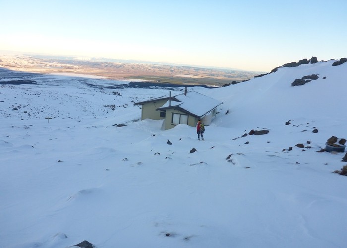
There are several access points to this tramp but the most common start/finish is Whakapapa Village. The Ohakune Mountain Road, Tukino Mountain Road (4wd only) and track from Waihohonu Hut to the Desert Road are other access points that mean that many options are available for shorter trips or different routes.
Most people seem to walk the loop in a clockwise direction (ie starting with the section from Whakapapa to Waihohonu Hut across the Tama Saddle). This is a five hour section with great views of both Mt Ruapehu and Mt Ngauruhoe on a fine day but there is little shelter.
Between Waihohonu Hut and Rangipo Hut, the track crosses the Rangipo Desert. The Desert Road and Kaimanawas are clearly visible to the east.