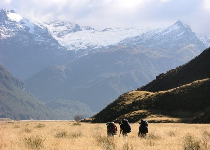
Rees / Dart Rivers
Mount Aspiring National Park, Te Wāhipounamu - South West New Zealand World Heritage Area
- 3 – 4 days loop track
- Medium/hard
Alpine circuit along two river valleys at the head of Lake Wakatipu.
9 members favourited
26 members checked in
|
Walking time
|
3 – 4 days
25 hr – 33 hr
|
|---|---|
|
Distance
|
67.0km |
|
Type
|
Loop track
|
|
Grade
|
Medium/hard |
|
Bookings
|
No bookings — open access
No — open access
|
|
Starts
|
Muddy Creek car park, Rees Valley Road, north of Glenorchy |
|---|---|
|
Ends
|
Glenorchy Paradise Road end, north of Glenorchy |
|
Maps
|
NZTopo50-CA10
NZTopo50-CB10 |
|
Altitude
|
400m
–
1,470m
Altitude change 1,070m
|
ID 210
About this track
246 views in the past year (21 per month).