Top Kokatahi Hut
The Top Kokatahi Hut (4 bunks, matresses, tank water, stove) is a forestry-style hut. It is perched above the confluence of the Kokatahi River with a side-creek leading to Bastion Ridge. The hut is reached over a swingbridge from the marked track on the true-left of the Kokatahi River.
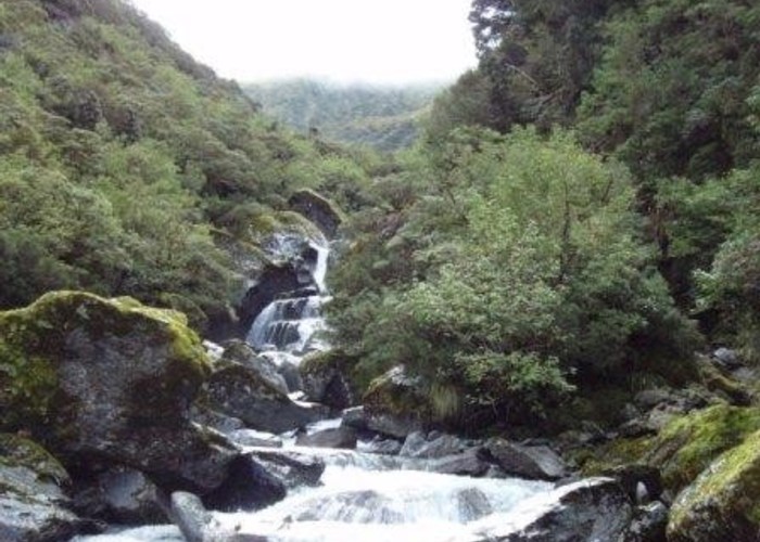
The route up the river from Crawford Junction follows the riverbed for much of its distance. An alternative sidle-route was marked by Geoff Spearpoint et al. in 2003 - you may still be able to find this if river levels are high. A well maintained cut track begins on the true-left, 500m downstream of the hut and leads to the swingbridge.
The hut is a good resting place for those heading upstream. Kokatahi Biv (3km, 1.5-2.5 hrs) upstream is dilapidated and not recommended.
A beutiful, moderately hard alpine route leads along the ridgeline from Zit Saddle over Mt Chamberlain and Mt Bannatyne to Toaroha Biv from where you can drop to Poets Hut or Top Toaroha Hut.
|
Owner
|
Owner: DOC |
|---|---|
|
Category
|
Basic Hut/Bivvy |
|
Sleeps
|
Sleeps 4
4
|
|
Facilities
|
Toilet, Enclosed wood/coal burner |
|
Water supply
|
Tap or tank water |
|
Getting there
|
Kokatahi Roadend (J33 577110): Rough riverbed route from hut to Crawford Junction Hut, with bridged crossings (5km, 2.5-5hrs). Cut / marked track downstram to roadend via Booboo Hut (12km) Toaroha Roadend (J33 577094): 20km - cut track to Kokatahi Biv (3km, 1.5-2.5hrs), partially marked alpine route to Adventure Biv via Zit Saddle then cut track to road A signposted route leads from the Kokatahi up Clarke Creek to Clarke Pass and Griffiths Stream, but is not maintained |
|---|---|
|
Unlocked
|
This hut is unlocked and open to access. |
|
Bookings
|
No bookings — open access
No — open access
|
|
Altitude
|
780m |
|---|---|
|
Mobile phone coverage
|
No coverage |
|
Maps
|
NZTopo50-BV19
|