East Matakitaki Hut
Nelson Lakes National Park
East Matakitaki Hut (6 bunk, matresses, fireplace, creek water) lies on river flats in the upper Matakitaki valley (east branch). The hut is a typical forestry hut 50m from the river.
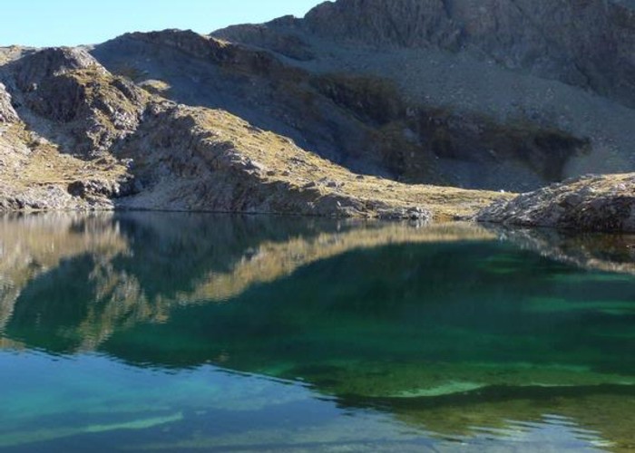
The upper Matakitaki flows south from David Saddle and the Upper D'Urville pass through a mainly broad and flat valley. For 7km north of the hut the valley sides are covered by beech at lower altitudes, though grassy flats dominate on the valley floor, with only occasional areas of beech reaching the riverbanks. One short waterfall section is easily passed on the beech valley-side. Further up the valley turns to first tussock and then scree as the passes are approaced. No cut track exists above the hut, but the valley floor route is well travelled and easily followed. Both David Saddle and the Upper D'Urville saddle are reached by steep climbs up loose scree.
South of the hut the valley soon gorges out, but a good sidle track leads to the forks with the West Matakitaki.
|
Owner
|
Owner: DOC |
|---|---|
|
Category
|
Standard Hut |
|
Sleeps
|
Sleeps 6
6
|
|
Facilities
|
Toilet, Open fireplace |
|
Water supply
|
Tap or tank water |
|
Getting there
|
Upper D'Urville Hut: 4-9 hours. Unmarked alpine route over David Saddle. Steep loose scree on Matakitaki side. Waiau Valley / Lake Thompson: 6-14 hrs from lake, add 1-2 hrs from valley track. Unmarked alpine route via Thompson & David Saddle. Shorter route via unmaked Upper D'Urville Saddle (M30 783968, reached by sidling from summit of Thompson Pass). Bob's Hut: 2-4 hours. Good, cut & marked sidle tracks. Matakitaki roadend (M30 703100): 26km cut track. |
|---|---|
|
Unlocked
|
This hut is unlocked and open to access. |
|
Bookings
|
No bookings — open access
No — open access
|
|
Altitude
|
900m |
|---|---|
|
Mobile phone coverage
|
No coverage |
|
Maps
|
NZTopo50-BT23
|