Makino Hut
Kaweka Forest Park
Makino Hut (sleeps 6, stove, firewood available, tank water) sits above the deep Makino and Mohaka valleys. The hut lies on the boundary between the open, mature beech to the south and east, and the manuka of the Makino and Mohaka valleys to the north and west.
The sika deer in the area are famed for the good quality of heads, but hunting is almost entirely bush-stalking, with no clear tops near the hut.
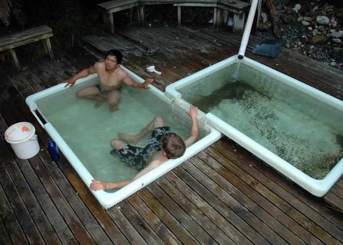
A track drops to the Mohaka valley and Te Puia Lodge, where the Mangatainoko hot springs are worth a visit. The track south to the Kaweka tops makes a good return day walk, or a full day crossing of the length of the Kawekas to Kiwi Saddle, Back Ridge or the closer Studholme Saddle. A round trip is also possible from the Mangatutu road via Middle Hill Hut and the southern Kaweka tops.
|
Owner
|
Owner: DOC |
|---|---|
|
Category
|
Standard Hut |
|
Sleeps
|
Sleeps 6
6
|
|
Facilities
|
Toilet, Enclosed wood/coal burner |
|
Water supply
|
Tap or tank water |
|
Getting there
|
Mangatutu Road saddle (U20 090178): 6.5km (1.5 - 3 hours) well maintained track Te Puia Lodge: 4km (1-2.5 hours) track, 500m climb/descent Whatu Peak / Kaweka tops: 8km (2-4 hours) track Middle Hill Hut (via bush track): 8km (time unknown) poorly maintained track, slow going Middle Hill Hut (via tops): 12km (3-6 hours) track and poled route |
|---|---|
|
Unlocked
|
This hut is unlocked and open to access. |
|
Bookings
|
No bookings — open access
No — open access
|
|
Altitude
|
1,000m |
|---|---|
|
Mobile phone coverage
|
No coverage |
|
Maps
|
NZTopo50-BJ37
|