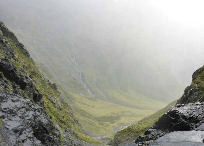
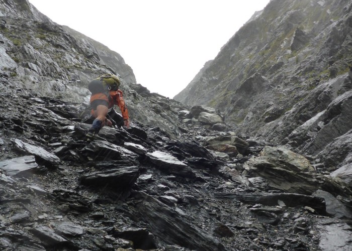
Ambling up the North Branch accompanied by light drizzle and rapid-fire chattering of riflemen was a gentle start to the trip. The track followed the river through regenerating beech forest for an hour and a half to the old hut site, where there is a nice camping spot complete with longdrop. The cirque at the head of the valley is spectacular, and with the low cloud and inclement weather, thin waterfalls were streaming off the cliffs. From here it was a case of picking a route through an alpine meadow beside the stream for another hour before entering the rubble-filled gut leading steeply up to Gunsight Pass several hundred metres above.

The light rain gradually intensified and the rocks got looser as we ascended. It was necessary to test each handhold carefully and there were a few which I didn't bother replacing after use! With wet rocks and a couple of tricky moves, I was very glad not to be descending this route. Part way up, a cave formed by an overhanging boulder provided shelter to wolf down an early lunch and put another warm layer on. This would be our last refuge until the bushline on the other side of the pass.
As the stream dwindled to a trickle, the most stable path was usually straight up the rivulet. At the top of Gunsight Pass was a little bivvy site – no doubt a fantastic spot in fine weather. Today, however, we merely hunkered down briefly to don gloves before going over the top. The full force of the wind hit us as we moved through the notch and it did its best to push us back up the slope. It was a fun, quick descent down the scree slope to the boulder field at the head of the South Branch. After following down the stream a little way, the marked route was soon picked up. However, after a while this spat us out on the river bank then disappeared. The track is marked incorrectly on the map. We simply followed down the stream, crossing as necessary, keeping an eye out for cairns marking a few short bits of trail here and there.
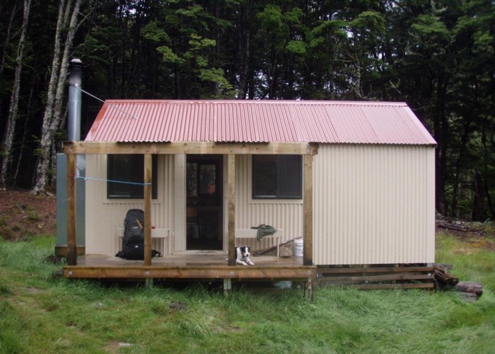
Before South Temple Hut is reached a major flood has taken out the forest on both banks leaving tall stumps punching through the gravel. We kept to the true right and eventually picked up the track to the cosy six bunk Forest Service hut.
First thing next morning a stream crossing ensured wet boots for the walk out; not that it mattered as it was an easy 2.5 hours back to the car. In recent years, the track has suffered from windfall and washouts, but the top section has largely been cleared and re-marked. The final kilometre along the river bank has been completely scoured out. For the most part we found it easier to stay down on the boulders, rather than duck up onto the short foot tracks through the scrub.

The confluence of the North and South branches of Temple Stream marked the completion of our loop. With a sense of satisfaction we looked back up the valley where our adventure had begun. Sunny blue skies a stark contrast to the black clouds of yesterday. It had been two days well spent.

