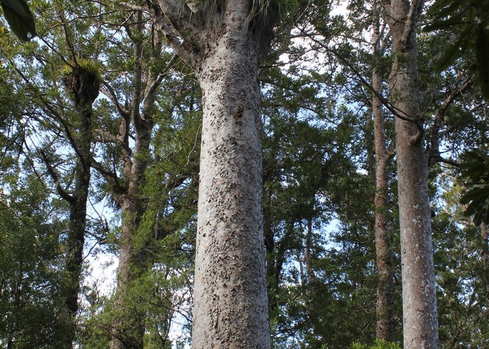
Upper Kauri Track
Waitakere Ranges Regional Park
- 1 hr one way
- Easy
A section of the Montana Heritage Trail, along a kauri ridge between Smyth Corner and the Falls car park.
|
Walking time
|
1 hr |
|---|---|
|
Distance
|
3.1km |
|
Type
|
One way
|
|
Grade
|
Easy
Wide, smooth track with an easy ascent or descent Grades explained
|
|
Bookings
|
No bookings — open access
No — open access
|
|
Starts
|
Long Road Track just east of Smyth Corner. |
|---|---|
|
Ends
|
Auckland City Walk near the swingbridge to the Falls car park. |
|
Maps
|
-
|
|
Altitude
|
50m
–
300m
Altitude change 250m
|