Upper Kauri Track
Waitakere Ranges Regional Park
- 1 hr one way
- Easy
- Long Road Track runs betweek Simla and Pae O Te Rangi Farm. The southern section is part of the Montana Heritage Trail.
- Lower Kauri Track connects with the Long Road Track. It is currently closed to protect kauri.
- Cascade Track is a shortcut across to Fence Line Track,
- Auckland City Walk at the northern terminus leads to the Falls Road car park, and is part of the Montana Heritage Trail.
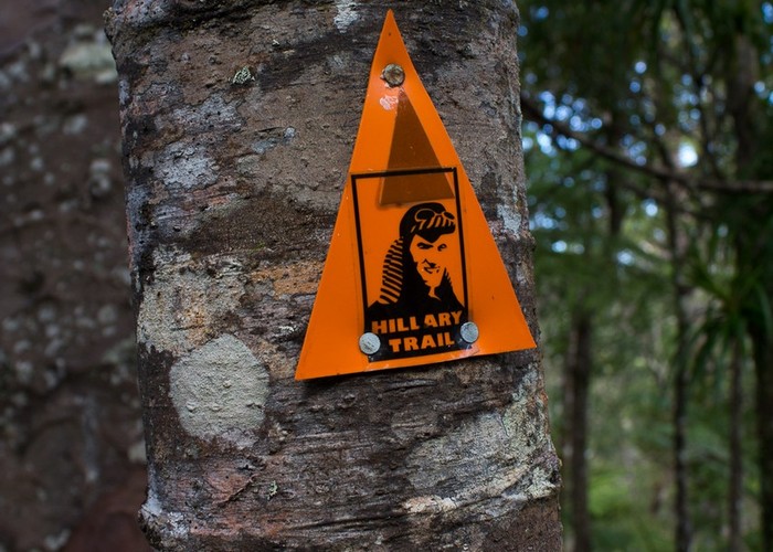
A section of the Montana Heritage Trail, along a kauri ridge between Smyth Corner and the Falls car park.
|
Walking time
|
1 hr |
|---|---|
|
Distance
|
3.1km |
|
Type
|
One way
|
|
Grade
|
Easy
Wide, smooth track with an easy ascent or descent Grades explained
|
|
Bookings
|
No bookings — open access
No — open access
|
|
Starts
|
Long Road Track just east of Smyth Corner. |
|---|---|
|
Ends
|
Auckland City Walk near the swingbridge to the Falls car park. |
|
Maps
|
-
|
|
Altitude
|
50m
–
300m
Altitude change 250m
|
This track is part of a rich network of tracks with neither end located by a road. The northeastern end is on the Auckland City Walk near the swingbridge by Falls Road car park. The southwestern end is near Smyth Corner, on the Long Road Track. This track is most commonly walked as part of the Montana Heritage Trail circuit. It is described here as a descent from the Long Road Track down.
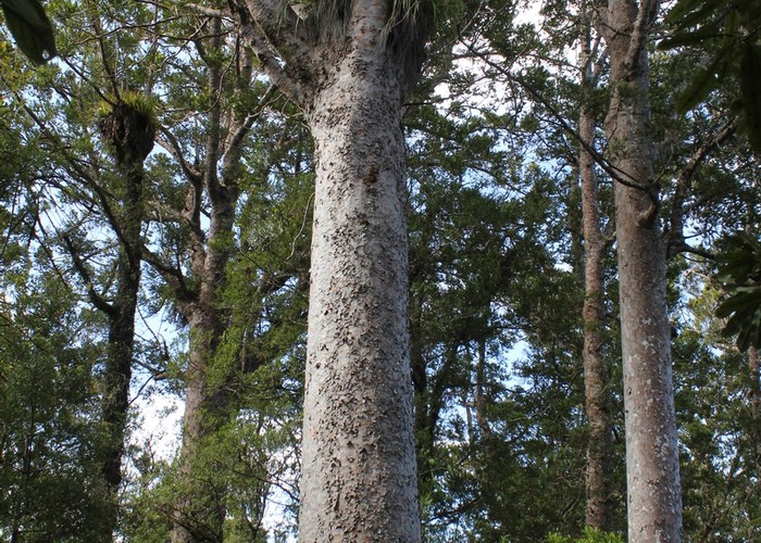
From the Long Road Track junction, the track heads downhill easily through regenerating forest hanging with rata. Pass nikau palms, kauri and podocarps near the (closed) Lower Kauri Track junction and into a beautiful kauri grove.
Drop past the end of the Cascade Track and through young kauri rickers to meet the Auckland City Walk. It's just a few minutes left to the Falls car park.