Lake Sumner Conservation Park
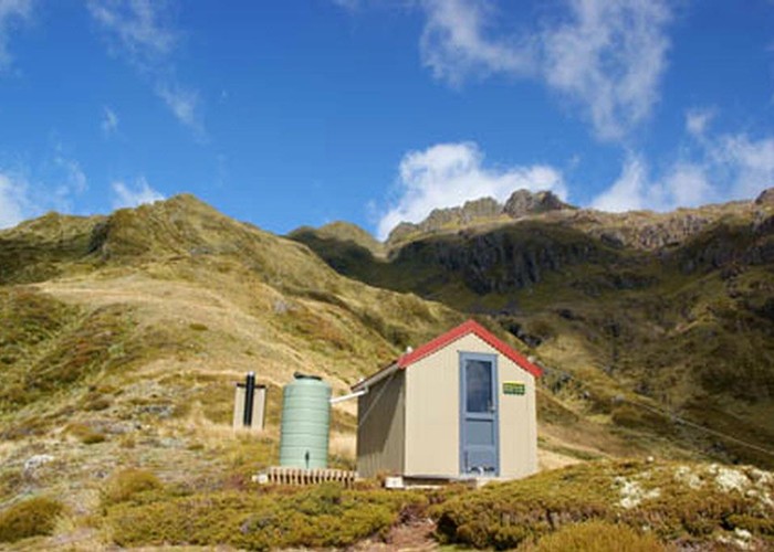
Lakes and forested hills in this sprawling park provide good tramping, and contrast with the rugged alpine environment of Arthur's Pass National Park to the southwest. Highest point: 1980m (Mt Crossley).
|
Area
|
1,058 square kilometres |
|---|---|
|
Maps
|
NZTopo50-BT24
NZTopo50-BU22 NZTopo50-BU21 NZTopo50-BV23 NZTopo50-BV22 NZTopo50-BT23 NZTopo50-BU23 |
ID 1461
About this place
258 views in the past year (22 per month).