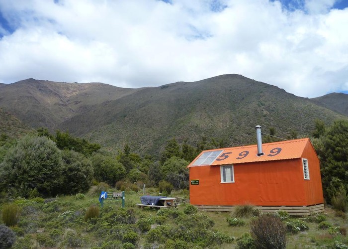
Mount Richmond Forest Park
A wedge of land at the base of the Marlborough Sounds, south of Nelson and north of the Wairau River, the park includes the ultramafic geology of the Nelson mineral belt. Highest point: 1790m (Red Hill).

|
Area
|
1,884 square kilometres |
|---|---|
|
Maps
|
-
|
ID 1458
About this place
63 views in the past year (5 per month).