Fiordland National Park
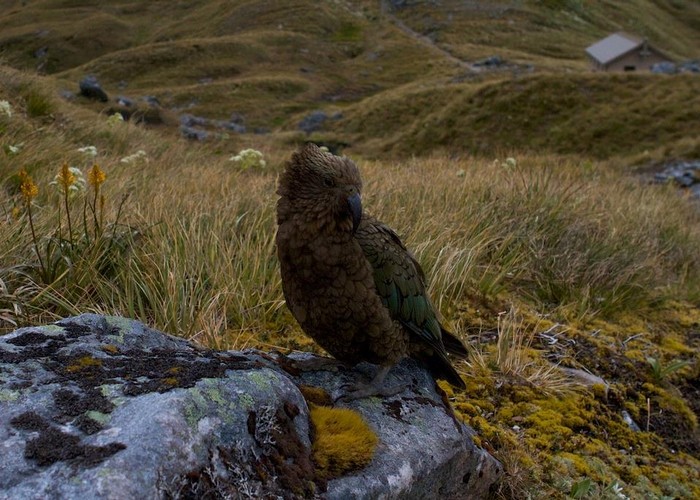
New Zealand's largest park, with large areas of impenetrable wilderness. Includes the Glaisnock and Pembroke Wilderness Areas. Fiordland National Park is part of Te Wahipounamu World Heritage Area. Highest point: 2746m (Mt Tutoko).
|
Area
|
12,570 square kilometres |
|---|---|
|
Established
|
1952 |
|
Maps
|
NZTopo50-CD07
NZTopo50-CB07 NZTopo50-CF06 NZTopo50-CE07 NZTopo50-CF05 NZTopo50-CC07 NZTopo50-CE06 NZTopo50-CC08 |