Temple Stream - North Branch
- 2 hr 30 min – 3 hr return by the same track
- Easy/medium
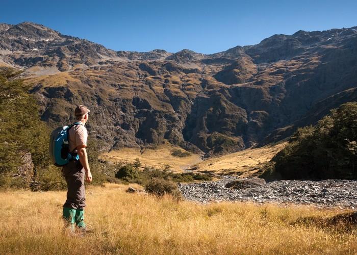
North Temple Track. Cross North Temple Stream and follow the track up North Temple valley. The track has been washed out in places from high river flow. It generally keeps to the beech-forest margin and ends at an impressive cirque basin. Experienced trampers may choose to cross Gunsight Pass into South Temple valley.

1 member favourited
2 members checked in
|
Walking time
|
1 day
2 hr 30 min – 3 hr
|
|---|---|
|
Distance
|
5.0km |
|
Type
|
Return by the same track
|
|
Grade
|
Easy/medium
Various wash-outs of the track to negotiate. Grades explained
|
|
Bookings
|
No bookings — open access
No — open access
|
|
Starts
|
Temple valley car park |
|---|---|
|
Maps
|
NZTopo50-BZ14
|
|
Altitude
|
600m
–
1,050m
Altitude change 450m
|
|
Link
|
www.doc.govt.nz/parks-and-recreation/tracks-and-walks/canterbury/mackenzie-country-and-waitaki/temple-valley-tracks/http://www.doc.govt.nz/parks-and-recreation/tracks-and-walks/canterbury/mackenzie-country-and-waitaki/temple-valley-tracks/ |
|---|
A very pleasant day walk to a spectacular cirque which in recent rain would have waterfalls cascading down the steep sides below Temple Peak (2289m). Evidence of avalanche damage and hut is no longer there.