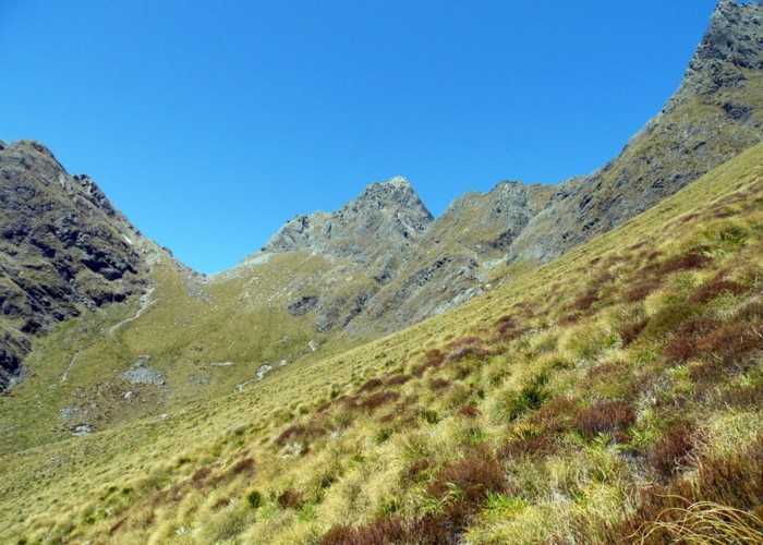
Emily Basin

High above the Routeburn at the top of Emily Creek, about 1.5 hours climb from Emily Creek bridge. Fraser Col is the depression on the left. Emily Peak is in the middle. Emily Pass is out of sight to the right. The route to Emily Pass goes up the gut at the toe of the spur coming down from the right frame. There is some limited exposed camping available out of frame to the left in the bowl of Emily Basin.
December 2014
