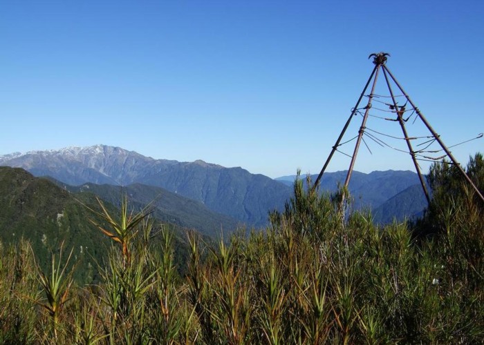
Looking SW from Mt Diedrichs May 2013

This photo taken from beside the trig beacon on the summit of Mt Diedrichs 1084m looks SW over the Hokitika River toward Mt Bowen 1985m and the front country hills of the lower Hokitika and Mikonui Rivers. Further east from the photo view Mt Evans stood out taller than all the surrounding peaks.
Few people walk up Mt Diedrichs as there are no tracks but it is possible to traverse Mt Diedrichs and continue on to Mt Jumbletop and the crest of the Diedrich Range. [Using the cut track up Gerhardt Spur a couple of ridges south is the way most people get on to the Diedrich Range from the Hokitika River side]
I went up Diedrichs from Doughboy Road North and used the ridge on the TR of Arthur Creek. The going was quite good except for the last half km which was a little scrubby. Below this level goats and deer have cleaned out most of the undergrowth. It took 2hrs 45mins to walk up and was 15mins quicker returning.
Taller scrub was cleared from the iron pipe trig beacon pre photo.
Comments
-
 glennj A couple of surveyors have been in contact about this style of trig beacon. I've been told this one is a legacy of Surveyor GJ Roberts and dates from the 1870's.
4 June 2013